

Eastern Cape · Enoch Mgijima Local Municipality
Geoscience, drilling & groundwater services in Molteno
Coal geology and groundwater work around Molteno, the Stormberg town beside some of South Africa's first coal mines.
Working in Molteno
Coal was found in the Stormberg in 1859, and the mines around Molteno were among the first worked in South Africa. The town was founded in 1874 and became the centre of the Molteno–Indwe coalfield.
The mines were abandoned without rehabilitation by the late 1940s, and informal miners have continued to work the old seams since. Today the town serves sheep and cattle farms in the cold, high Stormberg country.
- Municipality
- Enoch Mgijima Local Municipality
- From Midrand
- ~620 km straight line
- Coordinates
- 31.40°S 26.36°E
Also covering from Molteno
Hofmeyr · Steynsburg
Local ground conditions
What we look out for in Molteno
- 01
Molteno Formation coal
The Molteno Formation, named after the town, holds thin, low-grade coal seams in its lower part, interbedded with sandstone and shale.
- 02
Old workings
Abandoned adits, shafts and spoil heaps from historic mining remain in the district and can affect ground stability and runoff quality.
For the wider regional geology, see our Eastern Cape service area page.
Services
Most requested in Molteno
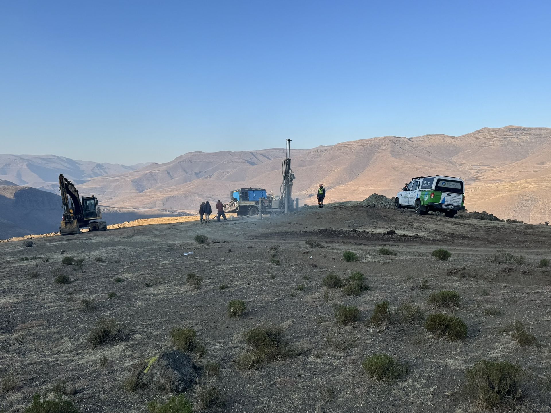
Mineral exploration & mining geology in Molteno
Geological mapping, drilling and resource work for coal seams in the Molteno–Indwe coalfield.

Geohydrological studies in Molteno
Groundwater assessments for the town and farms, including water quality checks near old mine workings.
Also availableGeotechnical & dolomite investigations in MoltenoBorehole yield testing in MoltenoCore drilling in MoltenoGeophysical surveys in MoltenoMining & prospecting right applications in MoltenoLand & engineering surveying in MoltenoWater purification & backup water in Molteno
Have a site in or near Molteno?
Send us the location and what you need. We plan field work to cover several sites per trip and usually reply with a scope and quote within two working days.