
Service · Surveying
Land & engineering surveying in South Africa
Topographical, setting-out, level monitoring, volume and as-built surveys for construction, mining and infrastructure projects.
What does an engineering surveyor do?
Engineering and construction surveying provides the measurements a project needs at each stage: the shape of the existing ground for design, setting out approved designs on site, checking levels and volumes during construction, and recording what was built for handover.
Crysbol Consulting provides land surveying services to support planning, design, construction and project handover. We work with project managers, civil engineers, contractors, developers and mining teams to position infrastructure, check levels and document completed works.
We agree the survey scope, coordinate system, accuracy requirements and deliverables before mobilisation. Site attendance can be scheduled for specific tasks or arranged around an agreed construction programme.
Last updated
When you need it
When do you need surveying work?
- Your design team needs a topographical survey of existing ground and features
- Approved drawings need to be set out on site for foundations, platforms or roads
- Excavation depths, formation levels or foundation positions need checking
- Earthworks or stockpile quantities need to be measured
- Completed works need an as-built survey for handover
How it works
Our process, step by step
- 01
Scope
Survey services, coordinate system, accuracy requirements and deliverable formats are agreed before mobilisation.
- 02
Control
We establish or verify survey control points and benchmarks, and check them against the supplied design information.
- 03
Field survey
Topographical survey, setting out, level checks or volume measurements, as scheduled.
- 04
Calculations and checks
Volumes are calculated against agreed reference surfaces, with survey limits and assumptions documented.
- 05
Deliverables
Survey plans, coordinate schedules, setting-out records, level checks and as-built drawings in agreed PDF and CAD formats.
What the work covers
- 01Topographical surveys and digital terrain information
- 02Survey control verification
- 03Construction setting out
- 04Level monitoring and foundation checks
- 05Earthworks and stockpile volume surveys
- 06As-built surveys
Standards and references
- Coordinate system and accuracy
- Agreed with the client at quotation stage, together with deliverable formats.
- Cadastral surveys
- For legal property boundaries, subdivisions or cadastral submissions, tell us when enquiring so the appropriate professional scope can be confirmed separately.
Engineering and construction surveys
- 01
Topographical surveys
Ground levels, spot heights, contours, existing buildings, roads, drainage and other agreed features, with digital terrain information for platform and earthworks design.
- 02
Survey control verification
Establish or verify control points and benchmarks to give a consistent reference for the works, checked against the design before setting out begins.
- 03
Construction setting out
Transfer positions and levels from approved drawings to site for foundations, building grids, platforms, roads and other infrastructure.
- 04
Level monitoring and foundation checks
Check excavation depths, formation levels, platform elevations and foundation positions against the design, with repeat monitoring agreed in advance.
- 05
Earthworks and stockpile volumes
Measure excavations, fill areas and accessible stockpiles to calculate quantities against agreed reference surfaces.
- 06
As-built surveys
Record the positions and levels of completed, accessible infrastructure for comparison with the design. Concealed works should be surveyed before they are covered.
In the field
Our surveying work on site
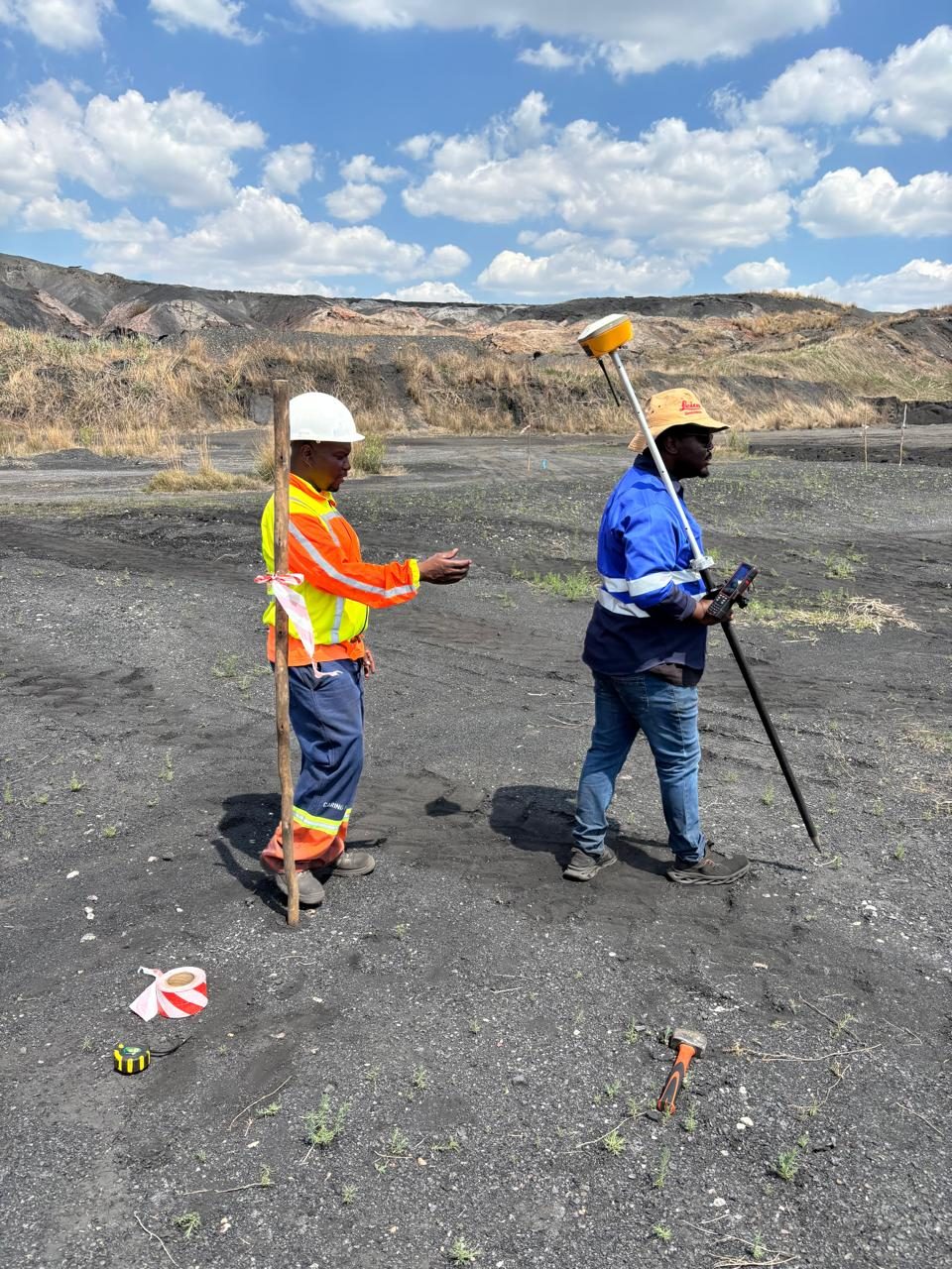
Surveyors setting out a marked point with a GNSS rover at Delmas Coal Mine 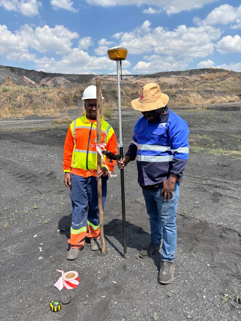
Two surveyors with a GNSS rover beside a survey peg below the Delmas mine dumps 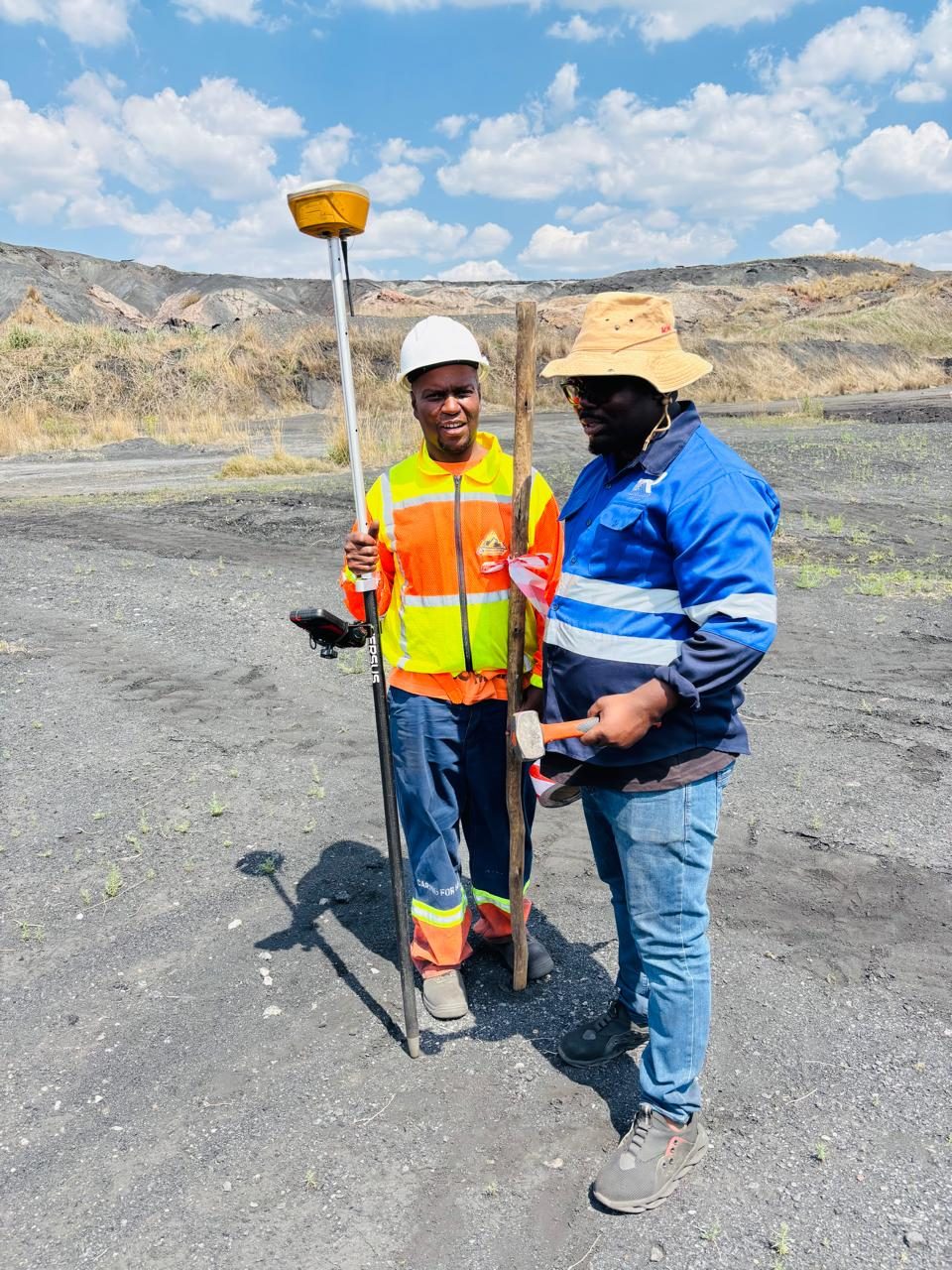
Surveyor checking the GNSS controller while a colleague holds the rover pole 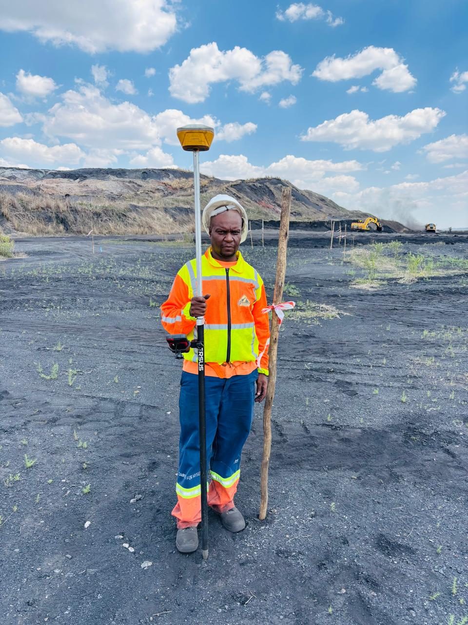
Surveyor with a GNSS rover pole and ranging rod at Delmas Coal Mine 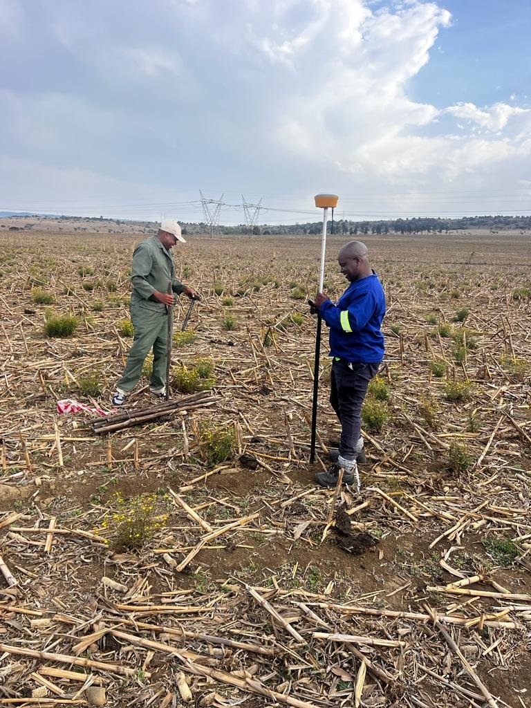
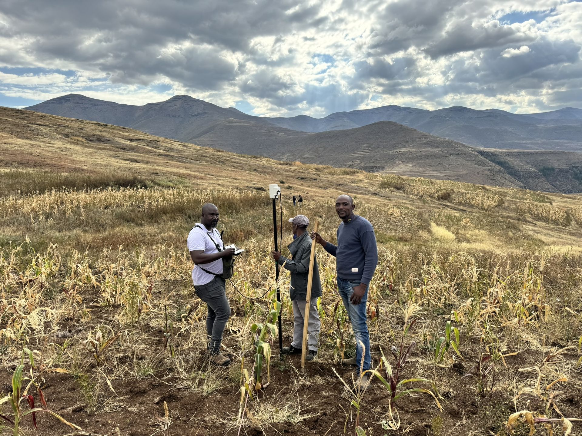
Surveyor holding a GNSS rover pole in a harvested maize field 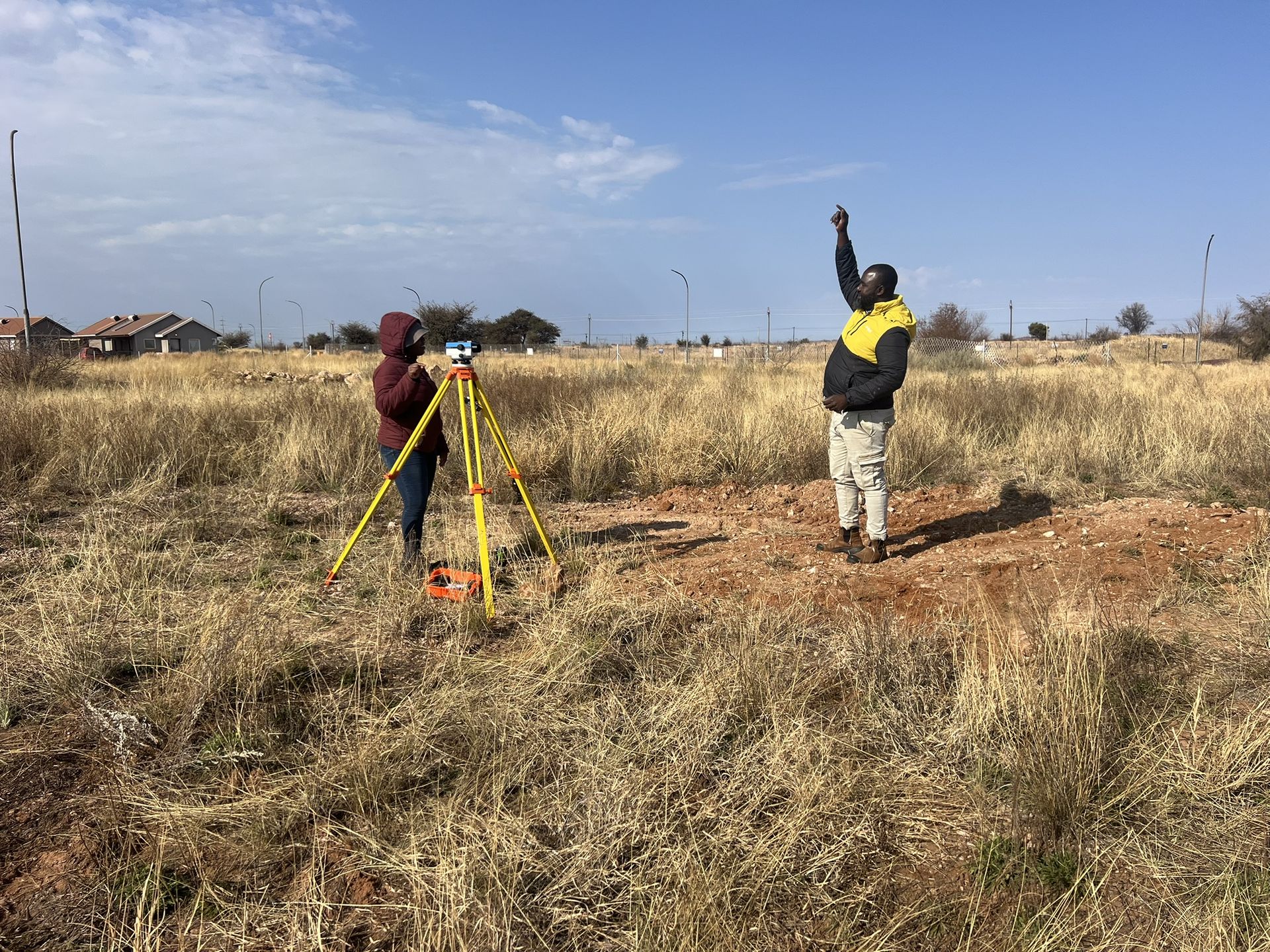
Surveyor at the level while a team member signals across the veld 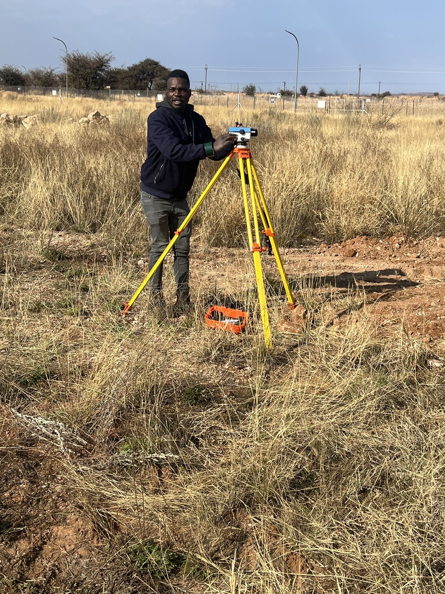
Surveyor taking readings on a level set up in grassland 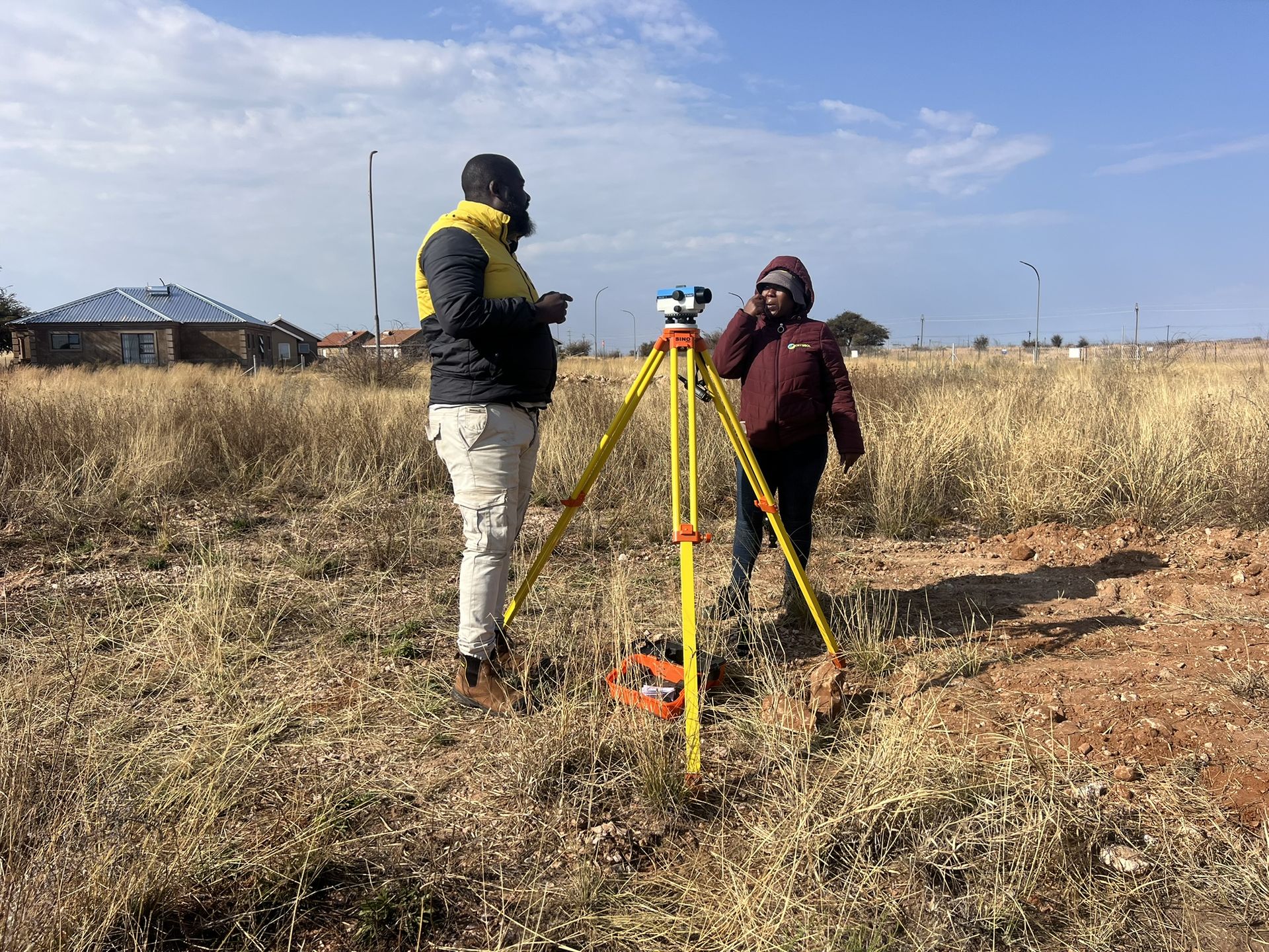
Surveyors setting up a level in open grassland 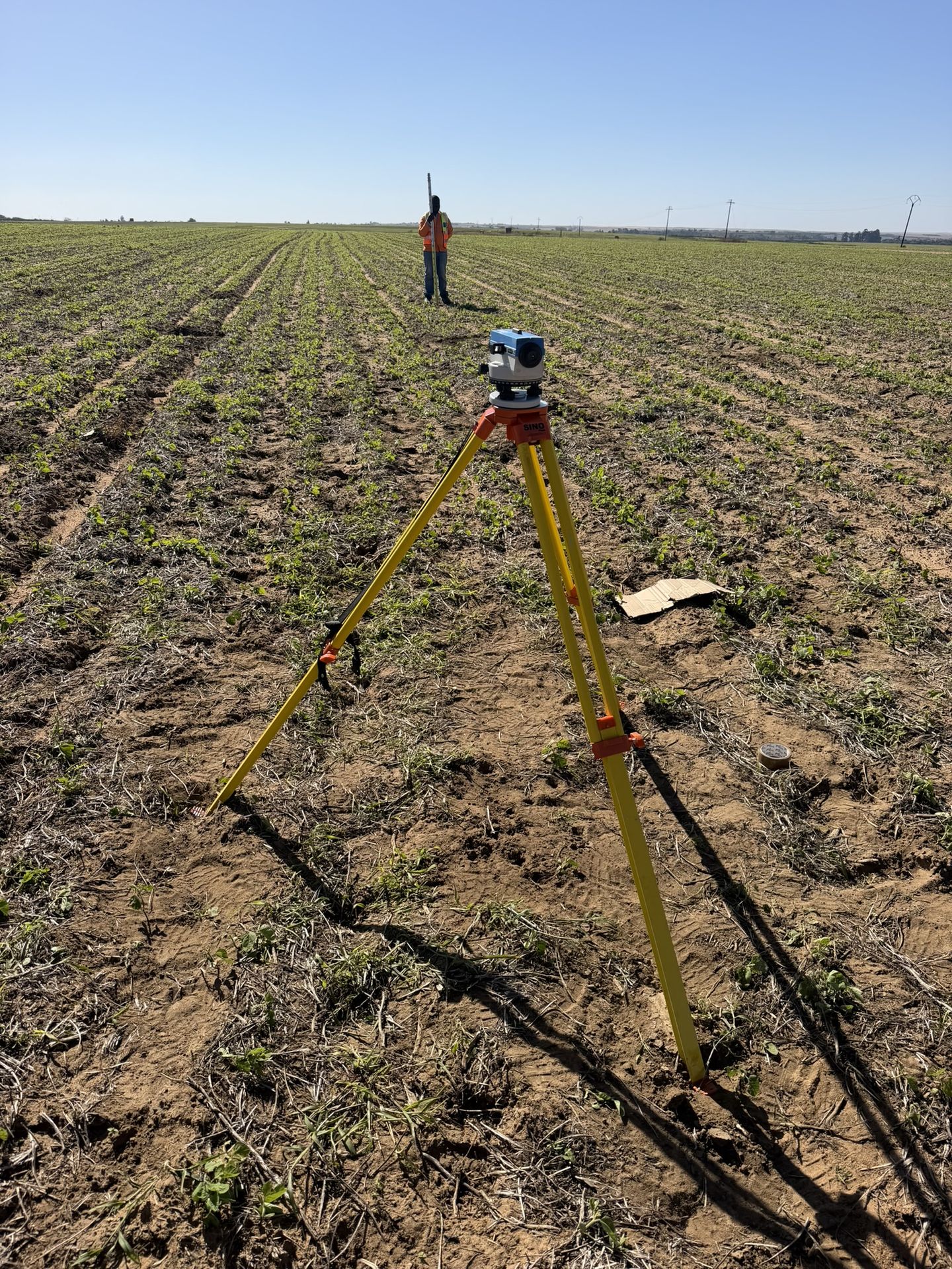
Survey level over a ploughed field with the staff holder in the distance 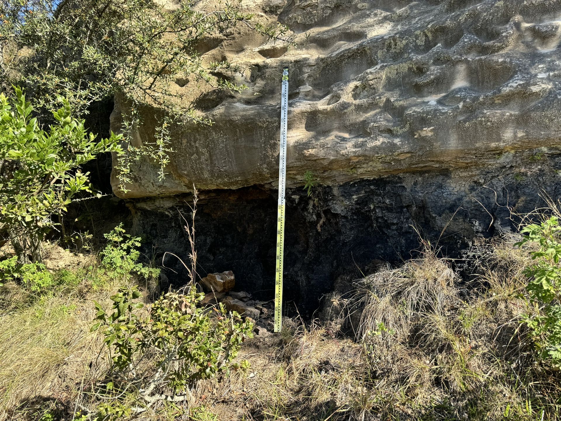
Levelling staff held against an overhanging rock face 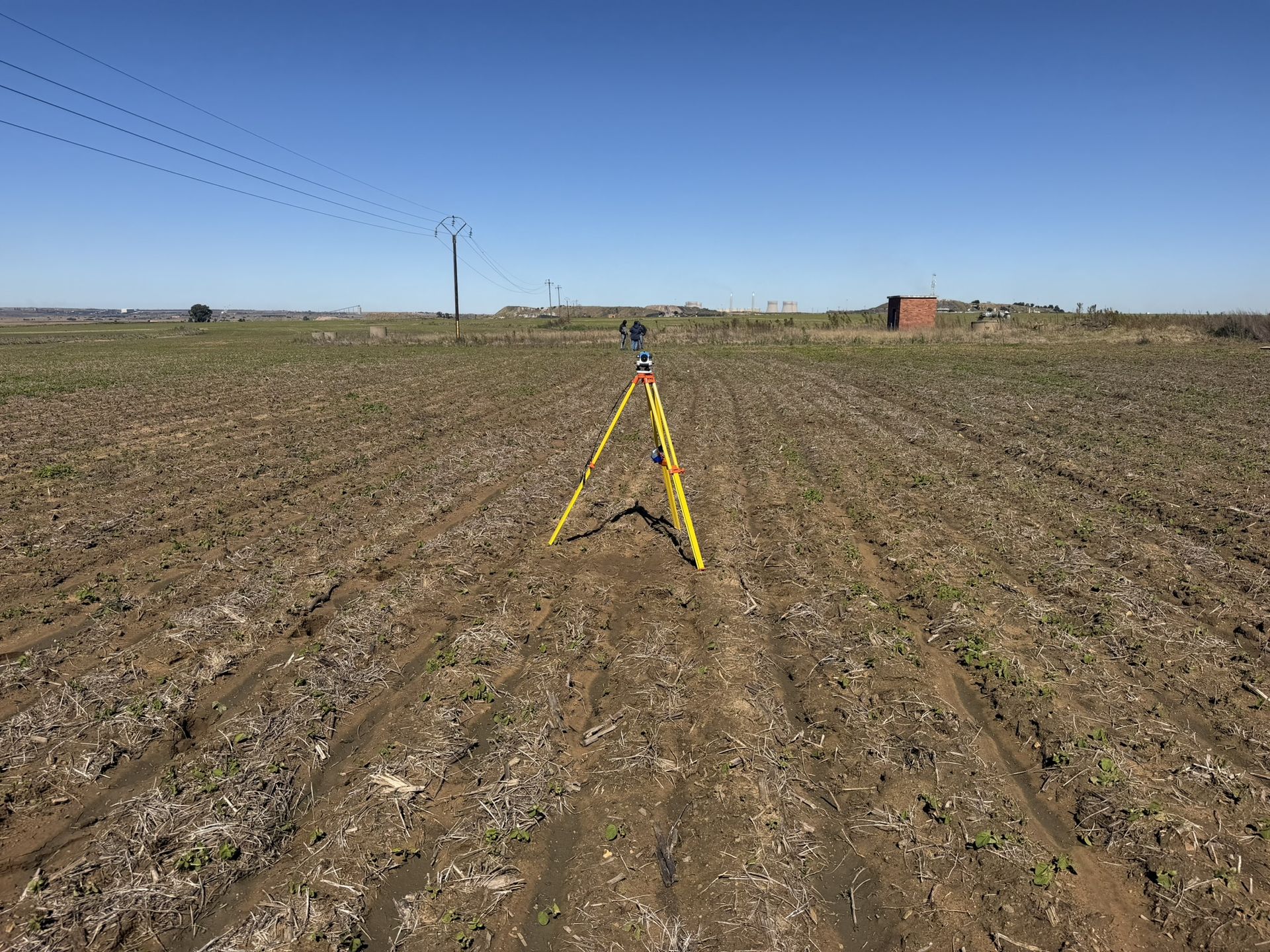
Survey level on a tripod in a ploughed field 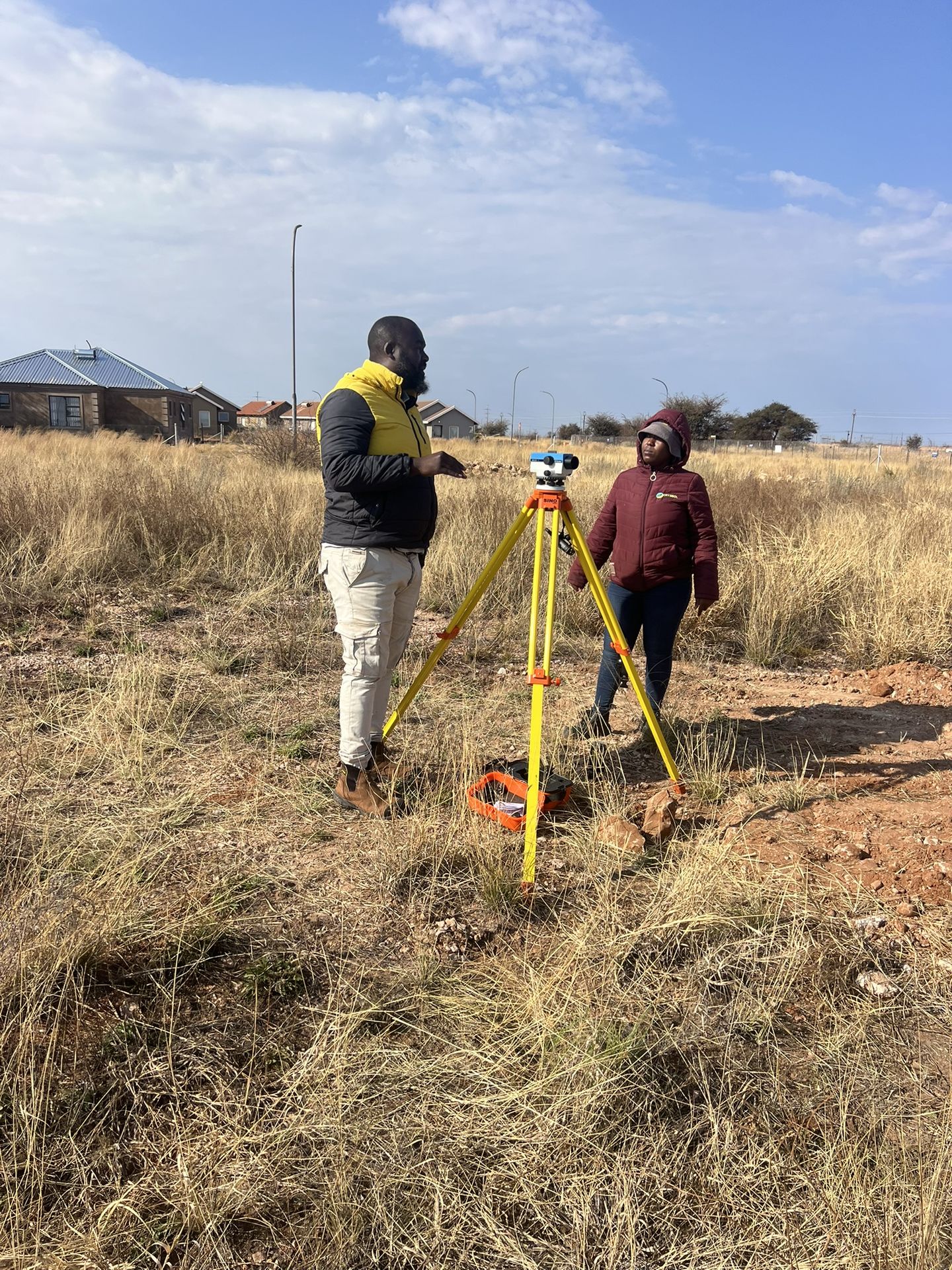
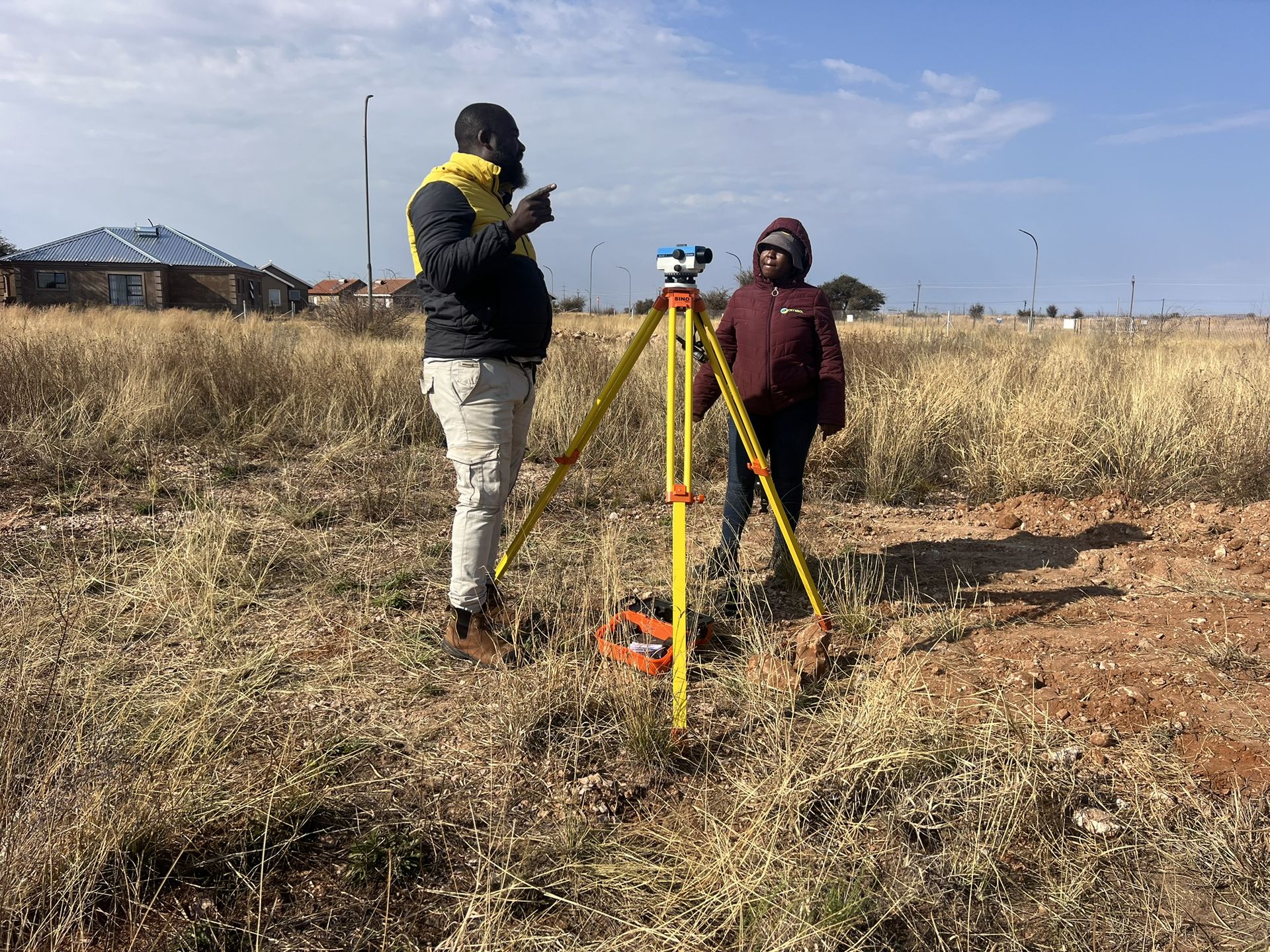
Two surveyors at the level in open grassland near houses 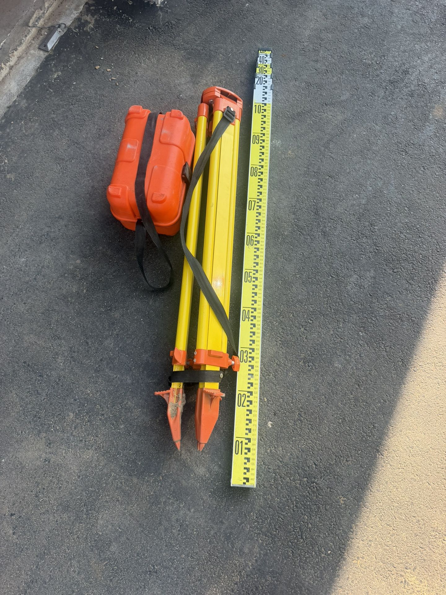
Tripod, levelling staff and instrument case laid out before fieldwork 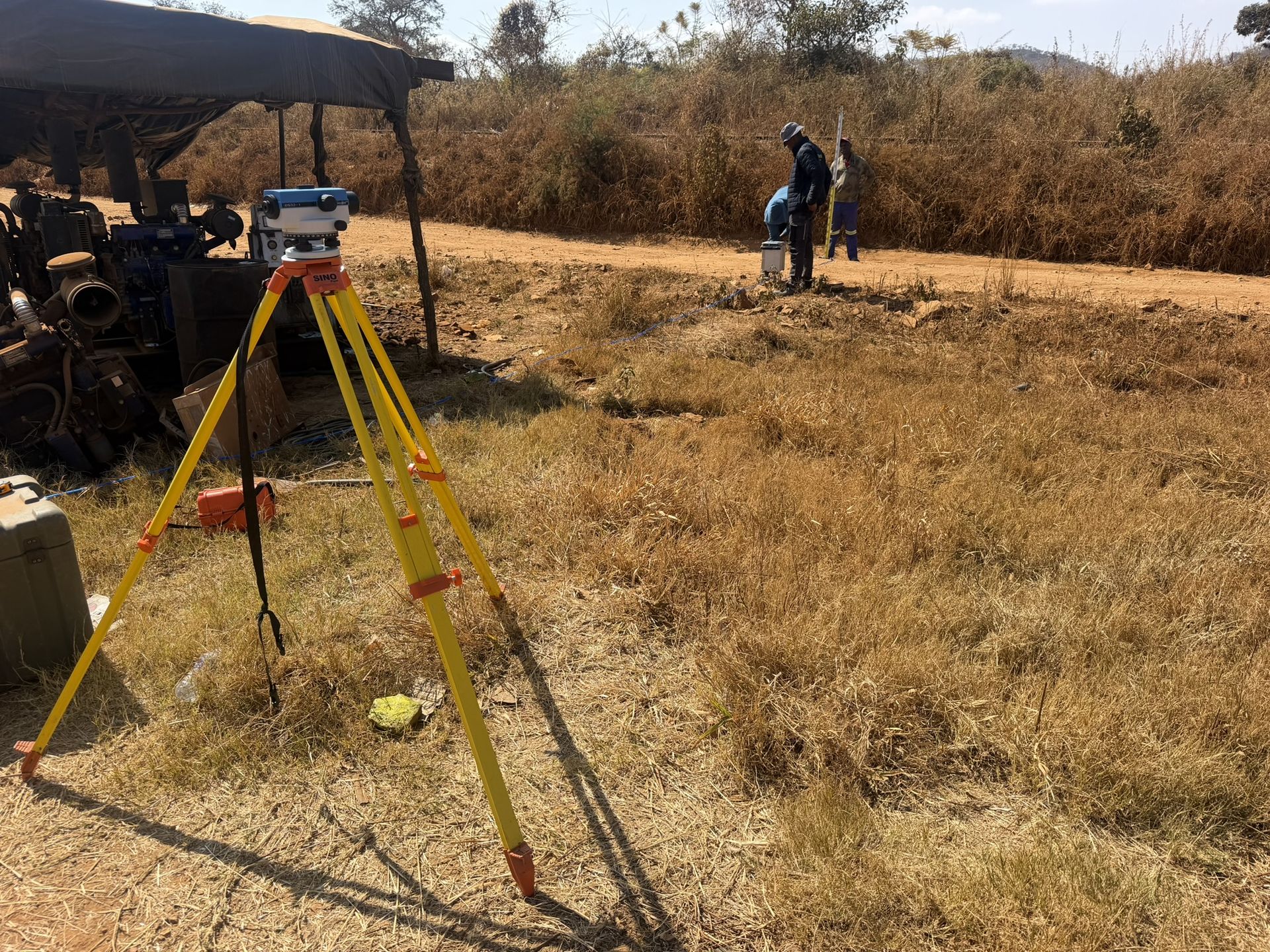
Survey tripod and team at a site camp 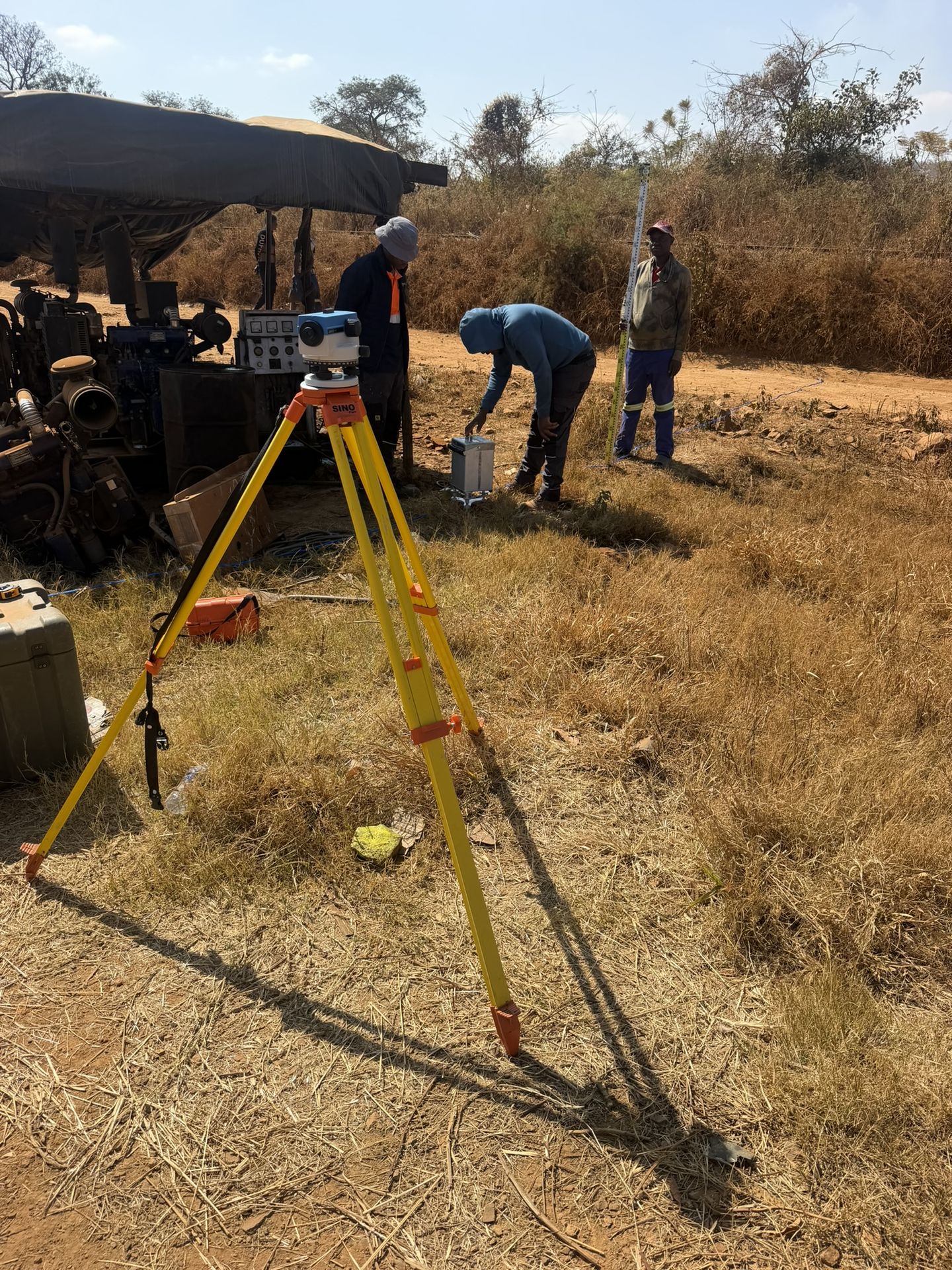
Survey instrument set up near a site shelter
Recent projects
Land & engineering surveying: recent work
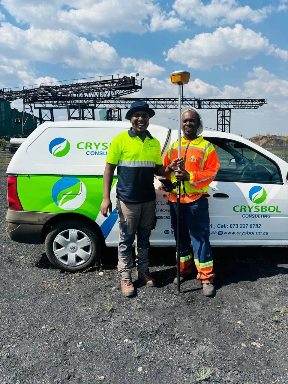
Delmas Coal Mine, Mpumalanga · Quotation accepted October 2026
Surveying for a DMS plant relocation at Delmas Coal Mine
Survey control verification, earthworks setting-out, level monitoring, volume surveys, foundation checks and final as-built surveys for the relocation of a 150 TPH DMS plant.
Questions
Land & engineering surveying: frequently asked questions
What is the difference between a topographical survey and setting out?
- A topographical survey records the existing ground and features so that a project can be designed. Setting out does the reverse: it transfers positions and levels from the approved design onto the site so that construction can begin.
Do you do boundary or cadastral surveys?
- Our surveys support engineering and construction. For legal property boundaries, subdivisions or cadastral submissions, tell us when you enquire so the appropriate professional scope can be confirmed separately.
How are stockpile volumes calculated?
- We measure accessible stockpiles, excavations and fill areas and calculate quantities against agreed reference surfaces, documenting the survey limits and assumptions behind each calculation.
What do you need for a surveying quotation?
- The site location or a map pin and approximate survey area, the services needed and how the results will be used, available drawings and control information, target dates, deliverable formats, and site access and safety requirements.
Where do you survey?
- We are based in Midrand and take surveying work in Gauteng and across South Africa, including Johannesburg, Pretoria, Centurion, Delmas, eMalahleni, Rustenburg and Polokwane.
Where we offer it
Land & engineering surveying in all nine provinces
- Land & engineering surveying in GautengLand & engineering surveying for sites in and around Johannesburg and the rest of Gauteng, run by our team from Midrand.
- Land & engineering surveying in MpumalangaLand & engineering surveying for sites in and around Mbombela and the rest of Mpumalanga, run by our team from Midrand.
- Land & engineering surveying in LimpopoLand & engineering surveying for sites in and around Polokwane and the rest of Limpopo, run by our team from Midrand.
- Land & engineering surveying in North WestLand & engineering surveying for sites in and around Mahikeng and the rest of North West, run by our team from Midrand.
- Land & engineering surveying in Free StateLand & engineering surveying for sites in and around Bloemfontein and the rest of Free State, run by our team from Midrand.
- Land & engineering surveying in KwaZulu-NatalLand & engineering surveying for sites in and around Pietermaritzburg and the rest of KwaZulu-Natal, run by our team from Midrand.
- Land & engineering surveying in Northern CapeLand & engineering surveying for sites in and around Kimberley and the rest of Northern Cape, run by our team from Midrand.
- Land & engineering surveying in Eastern CapeLand & engineering surveying for sites in and around Bhisho and the rest of Eastern Cape, run by our team from Midrand.
- Land & engineering surveying in Western CapeLand & engineering surveying for sites in and around Cape Town and the rest of Western Cape, run by our team from Midrand.
Related services
All services


Need surveying support?
Send us the site location and a short description of the work. We will reply with a scope and quote, usually within two working days.