

Service · Geohydrology
Geohydrological studies in South Africa
Groundwater assessments, hydrocensus, monitoring networks and numerical modelling for mines, towns and farms.
What is a geohydrological study?
A geohydrological study assesses the groundwater on and around a site: where it is, how much there is, its quality and how a project could affect it. It supports water use licences, environmental authorisations, mine dewatering plans and reliable borehole water supply.
Groundwater is the main water source for much of rural South Africa, and a risk that has to be managed on most mines. We find it, measure it, model it and monitor it.
Our team sites boreholes using geological and geophysical data, then assesses aquifers and the impact of a project on them for water use licences and environmental authorisations.
Last updated
When you need it
When do you need geohydrology work?
- You need a water use licence or general authorisation for groundwater use
- A mine, landfill, cemetery or industrial site needs a groundwater impact assessment
- You want to drill a production borehole and need the best place to drill
- You need a groundwater monitoring network or regular monitoring reports
How it works
Our process, step by step
- 01
Desktop review and hydrocensus
We gather existing data and visit nearby boreholes and springs to record water levels, use and quality.
- 02
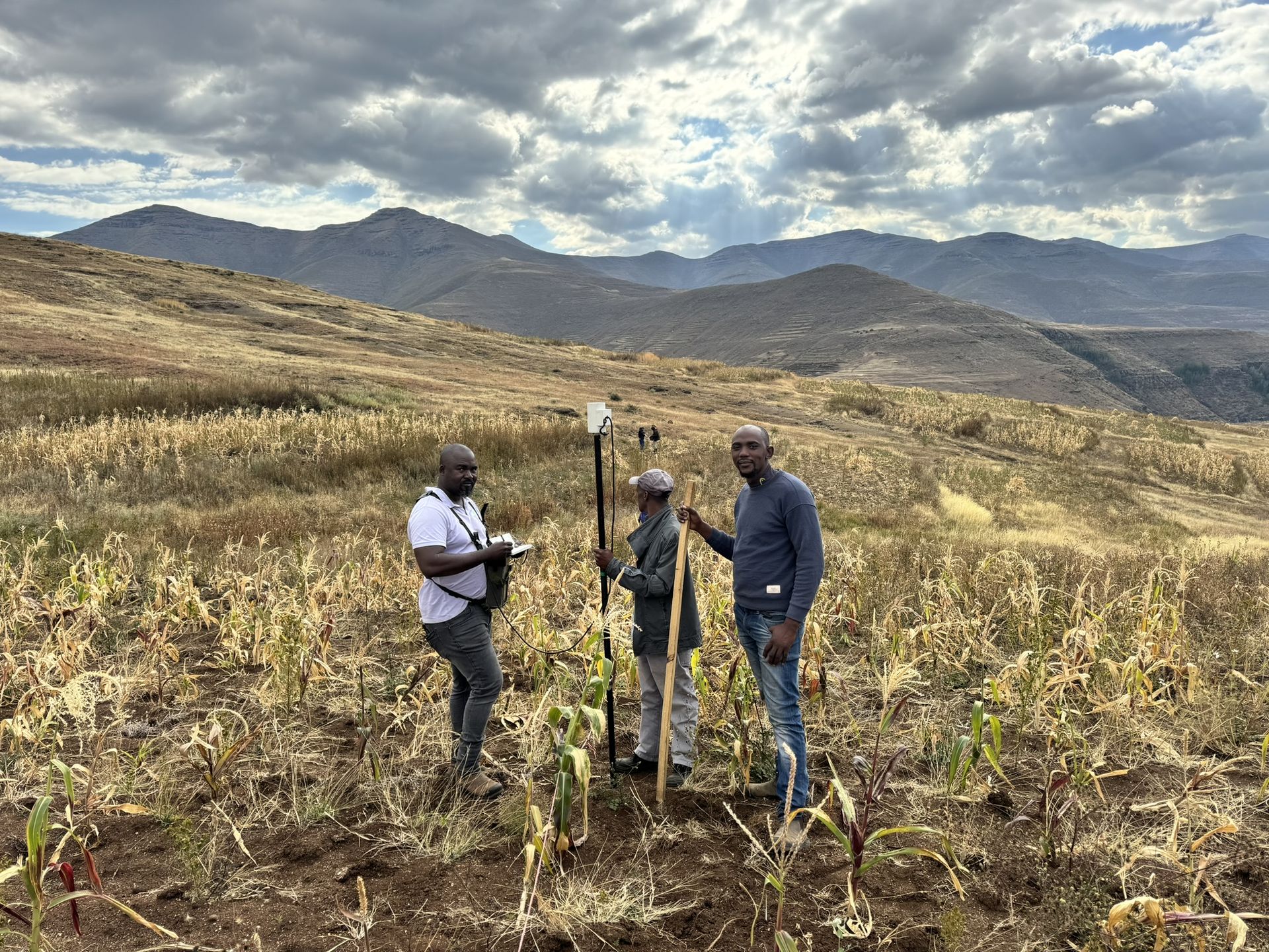
Geophysical siting
Magnetic and electrical resistivity surveys locate structures such as dolerite dykes, contacts and faults that are likely to hold water.
- 03
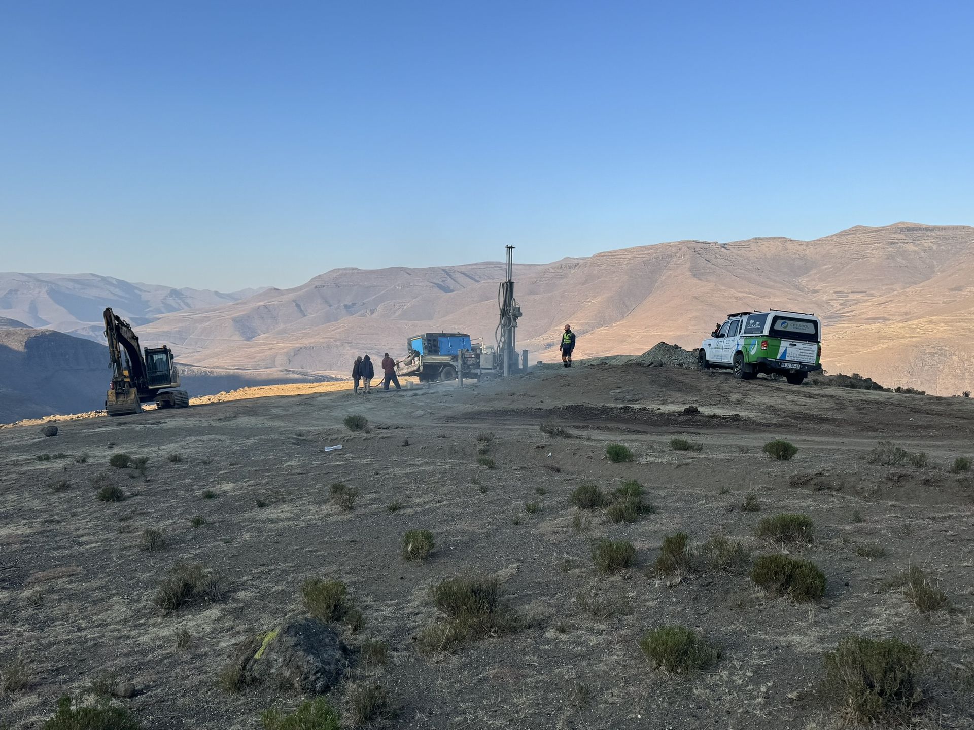
Drilling and testing
Monitoring or production boreholes are drilled and test-pumped to measure aquifer properties.
- 04
Modelling
Where needed, a numerical model predicts groundwater flow, drawdown and contaminant movement.
- 05
Reporting and monitoring
A specialist report for the authority, and a monitoring plan to track water levels and quality over time.
What the work covers
- 01Hydrocensus and baseline groundwater studies
- 02Geophysical borehole siting
- 03Aquifer characterisation and vulnerability assessment
- 04Groundwater monitoring network design
- 05Numerical groundwater flow and contaminant modelling
- 06Mine dewatering and impact assessments
Standards and references
- National Water Act (Act 36 of 1998)
- Section 21 water uses, registration and water use licences.
- GN 704 (1999)
- Regulations on the use of water for mining and related activities.
- SANS 10299
- Development, maintenance and management of groundwater resources, including borehole test pumping.
In the field
Our geohydrology work on site
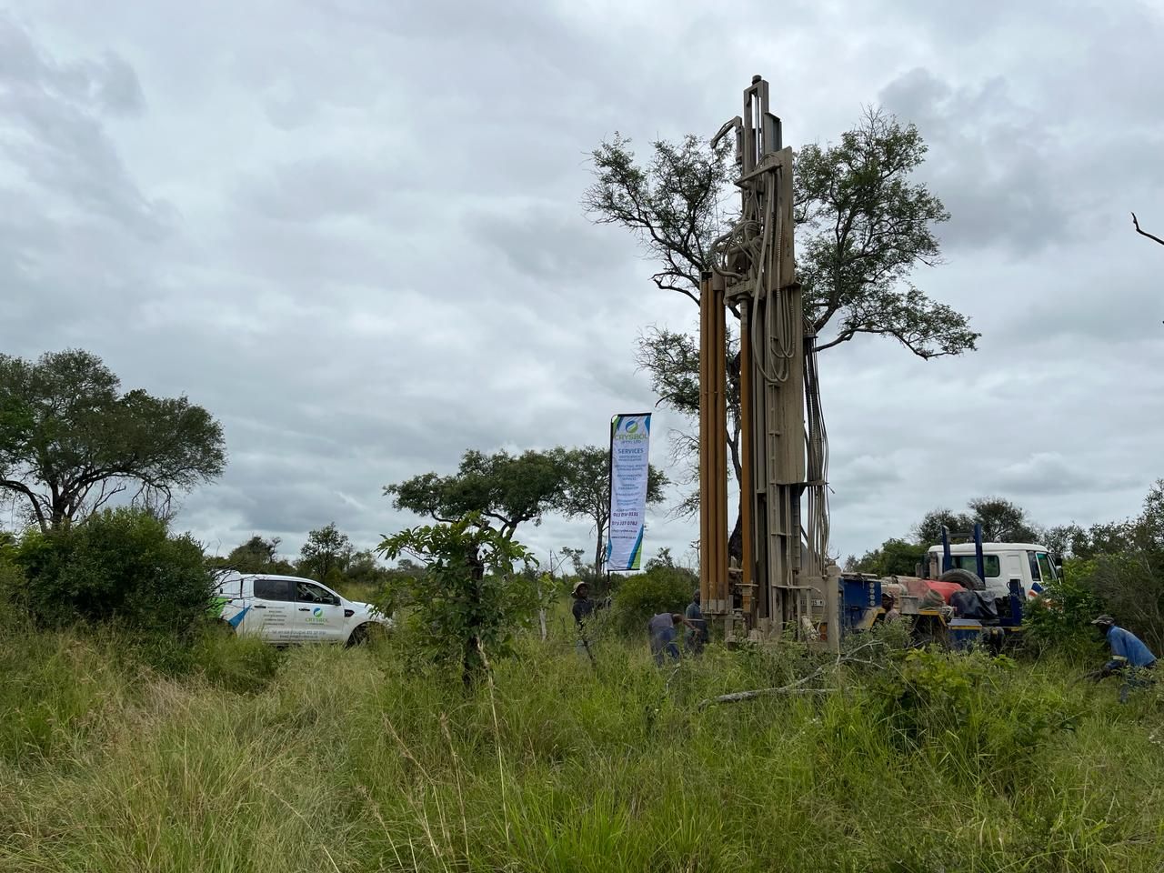
Drill rig beside a large tree with the Crysbol banner 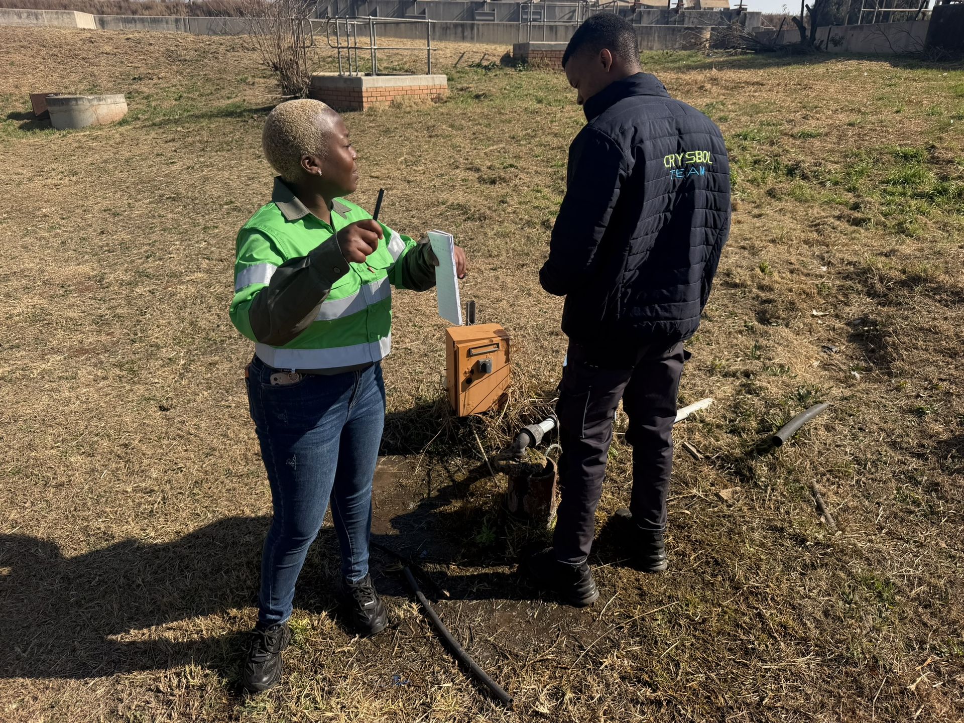
Measuring the water level in a borehole 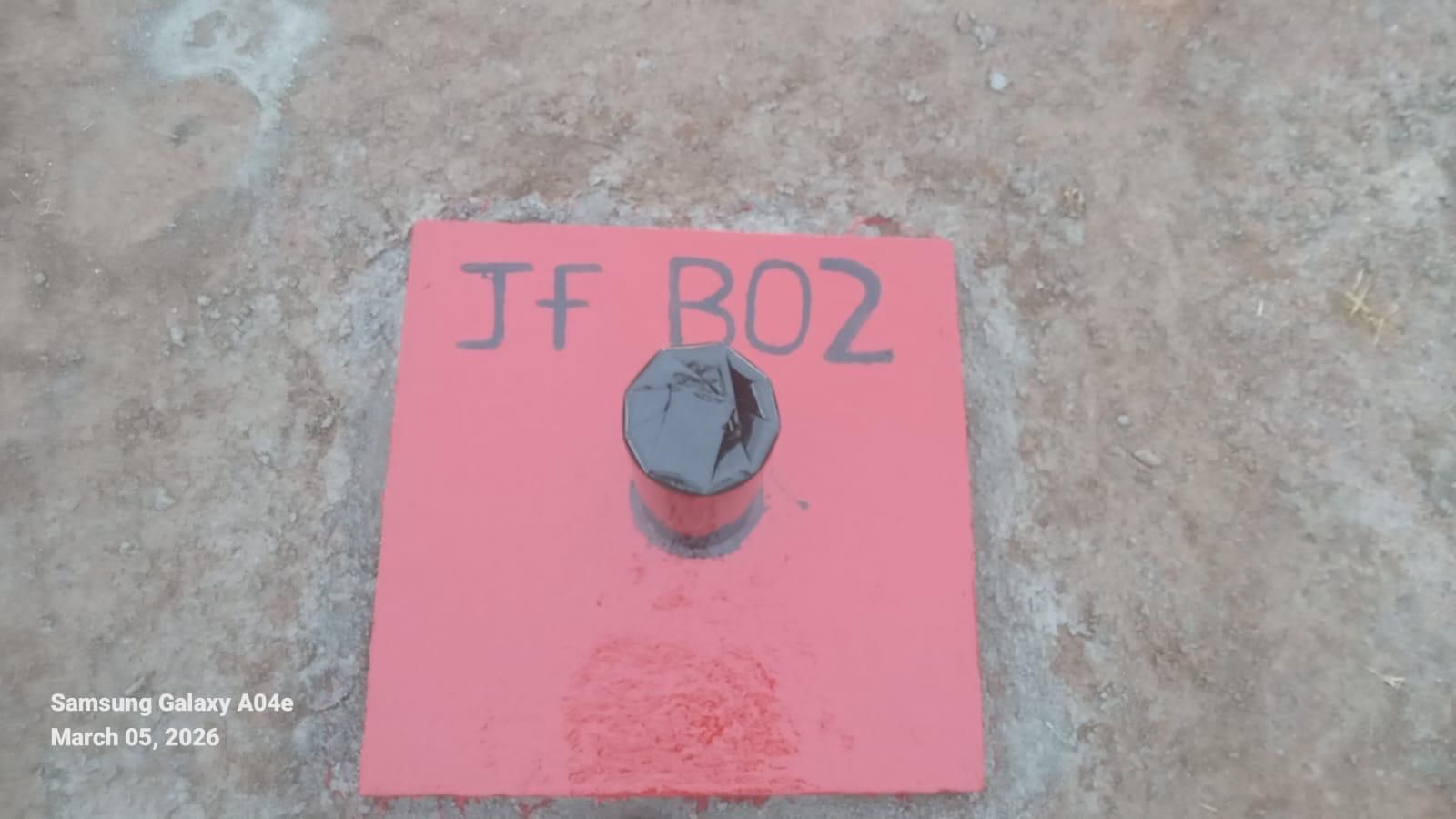
Completed monitoring borehole with a labelled cap 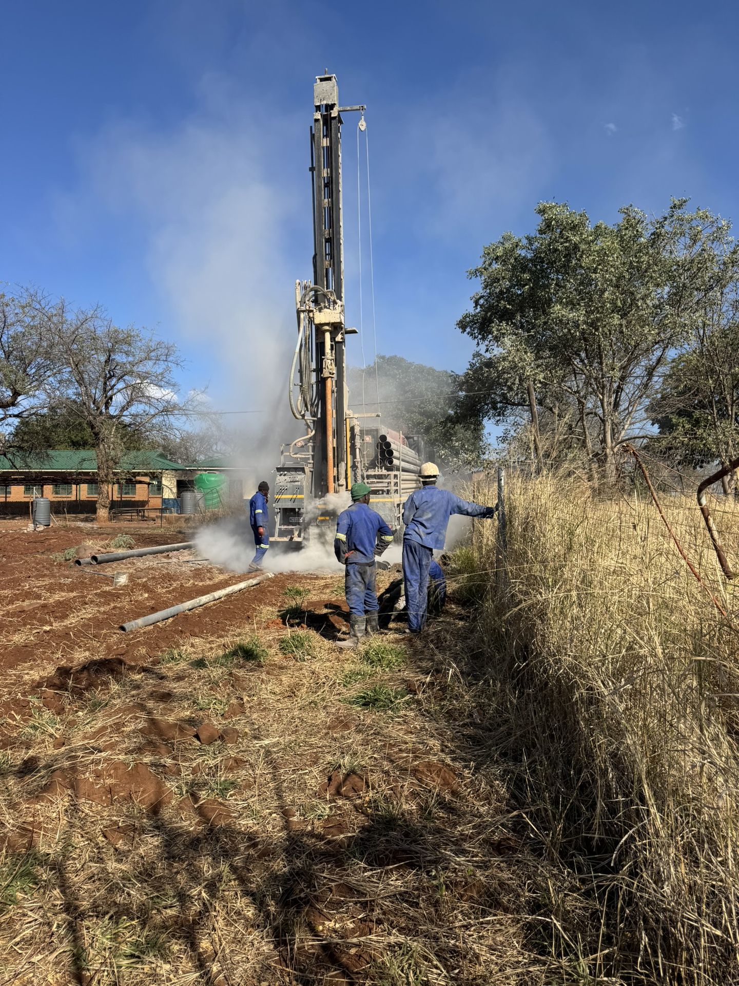
Rig drilling a borehole with the crew alongside 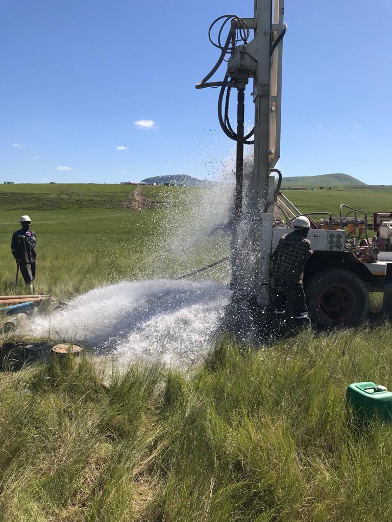
Borehole being air-lifted during drilling, water spraying from the casing
Recent projects
Geohydrological studies: recent work
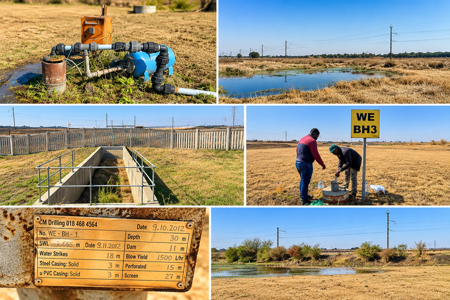
Ekurhuleni Metropolitan Municipality, Gauteng · August 2026
Geohydrological assessment for the Welgedacht Water Care Works upgrade
An assessment for the proposed 60 ML/day Module 3 upgrade, covering a desktop study, hydrocensus, groundwater quality and availability, a source–pathway–receptor assessment and a groundwater monitoring and management programme.
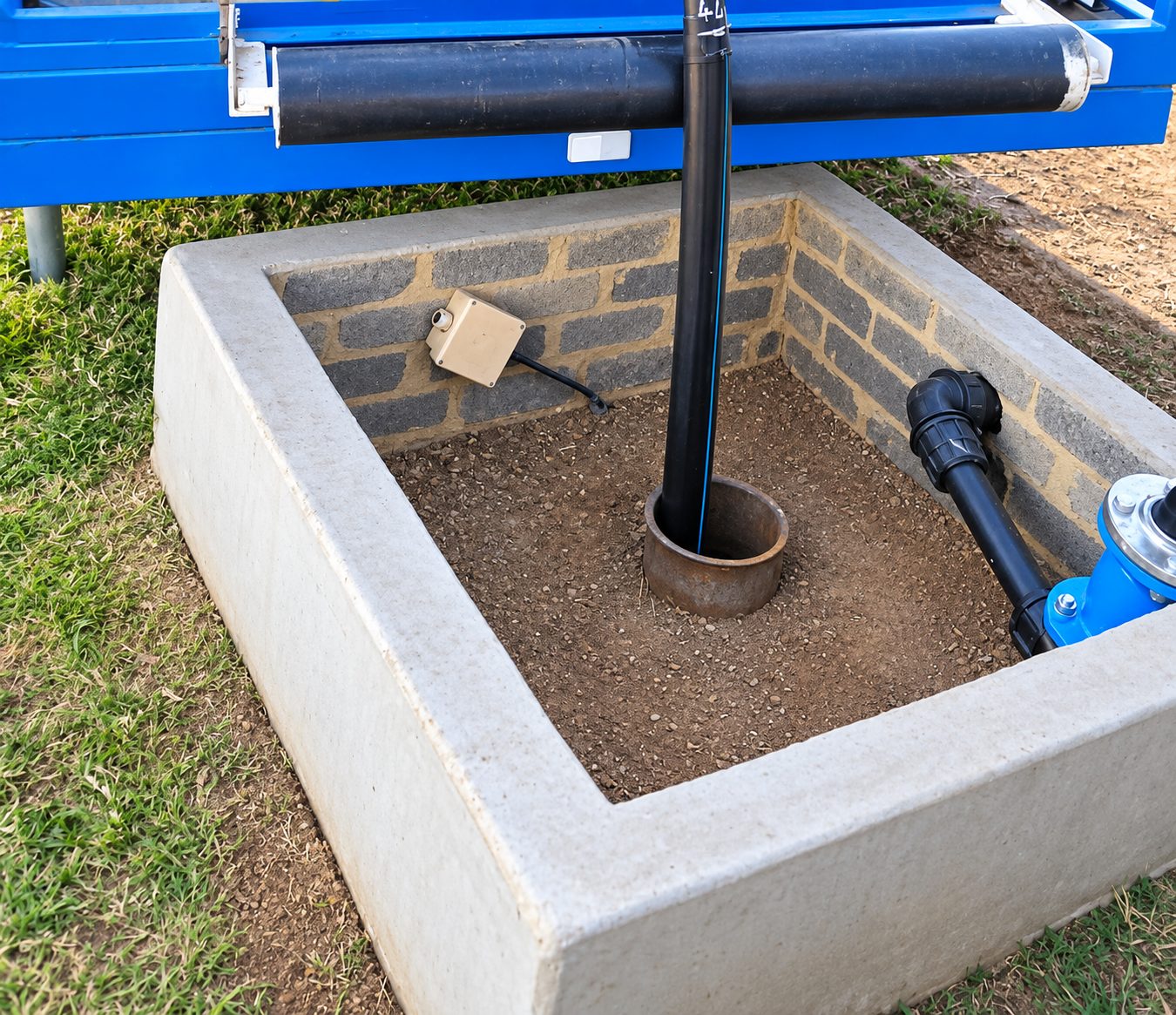
Hekpoort, Gauteng · August 2026
Geohydrological study for Eagle Valley Poultry
A groundwater investigation for the poultry farm, with a hydrocensus, aquifer pump testing, groundwater quality assessment and an evaluation of sustainable water supply.
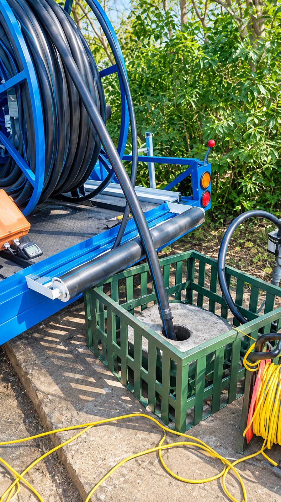
Hennops River Valley, Gauteng · July 2026
Geohydrological study for Hennops Free Range Poultry
An assessment of two existing production boreholes, with a 2 km hydrocensus, aquifer yield testing, groundwater quality sampling, an availability and impact assessment and a monitoring programme.
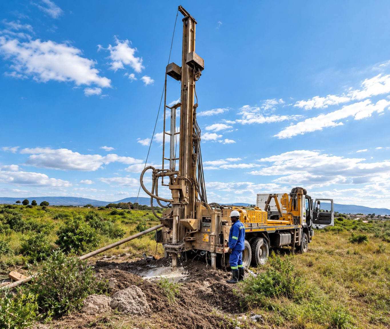
Jane Furse, Sekhukhune, Limpopo · March 2026
Hydrogeological study for a government office complex at Jane Furse
An investigation to establish groundwater potential and develop production boreholes, covering a desktop study, hydrocensus, magnetic and electromagnetic surveys, borehole siting and drilling, yield testing, water quality analysis and management recommendations.
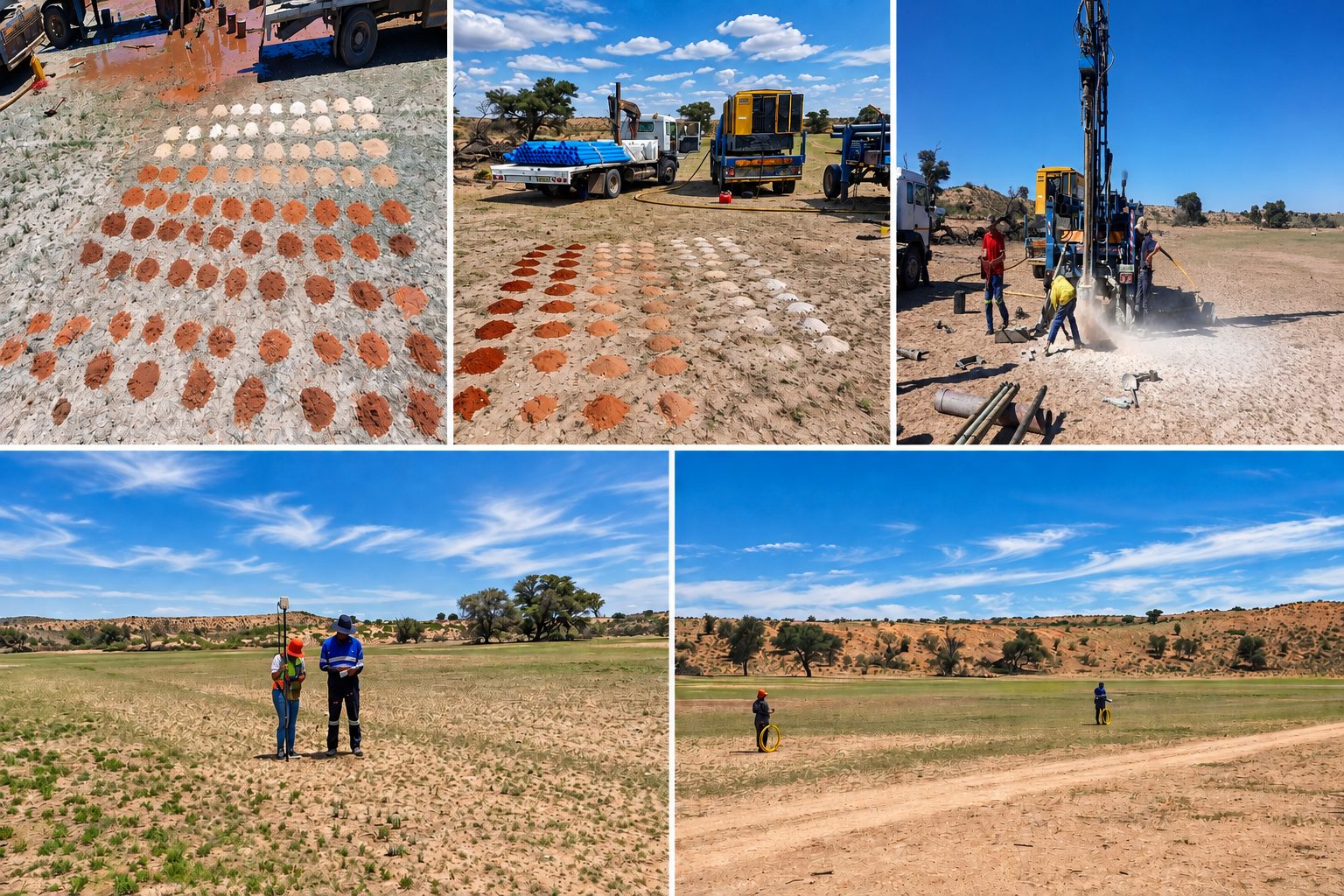
Kgalagadi Transfrontier Park, Northern Cape · March 2026
Geohydrological study in the Kgalagadi Transfrontier Park
A groundwater development programme to secure water for road maintenance in the park: hydrocensus and geophysical surveys, target selection, drilling two production boreholes, yield testing, water quality assessment, equipping and management recommendations.
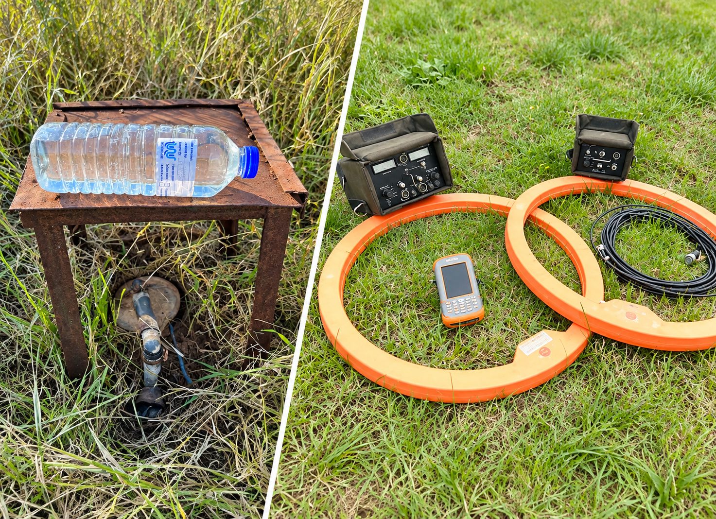
Ledig, Moses Kotane Local Municipality, North West · June 2025
Geohydrological study for a police station at Ledig
A desktop study, 2 km hydrocensus, groundwater sampling, geophysical survey, borehole siting and groundwater impact assessment for the proposed police station.
Questions
Geohydrological studies: frequently asked questions
Do I need a water use licence for a borehole?
- Many domestic and small-scale uses are allowed under Schedule 1 or a general authorisation. Larger abstraction, and most mining and industrial use, needs registration or a water use licence under the National Water Act. We can confirm which applies to you.
How do you decide where to drill a borehole?
- We study the geology and use geophysical surveys to find fractures, contacts and dykes likely to hold water. Siting cannot guarantee water, but it greatly improves the odds compared with drilling blind.
What is a hydrocensus?
- A hydrocensus is a survey of existing boreholes, wells and springs around a site. It records who uses groundwater, how much, water levels and quality, and forms the baseline for an impact assessment.
Why does a mine need a geohydrological study?
- Mines can lower water tables through dewatering and pollute groundwater through seepage from dumps and dams. Regulators require these impacts to be predicted, managed and monitored, so the study supports the water use licence and the EMPr.
Where we offer it
Geohydrological studies in all nine provinces
- Geohydrological studies in GautengGroundwater impact assessments around mine dumps, industrial sites and developments on dolomite.
- Geohydrological studies in MpumalangaMine dewatering, acid mine drainage and groundwater monitoring on coal operations.
- Geohydrological studies in LimpopoBorehole siting and aquifer assessments for village water supply and mine water management.
- Geohydrological studies in North WestDolomite aquifer assessments and monitoring for municipal water supply and mines.
- Geohydrological studies in Free StateGroundwater studies for irrigation, mine water and municipal supply.
- Geohydrological studies in KwaZulu-NatalGroundwater baseline and impact studies for mining and industry.
- Geohydrological studies in Northern CapeGroundwater supply studies for mines, towns and construction water on energy projects.
- Geohydrological studies in Eastern CapeBorehole siting and aquifer studies for municipal drought response and rural supply.
- Geohydrological studies in Western CapeAquifer assessments and monitoring for municipal, agricultural and private abstraction.
Related services
All services

Need geohydrology support?
Send us the site location and a short description of the work. We will reply with a scope and quote, usually within two working days.