
Service · Geophysics
Geophysical surveys in South Africa
Survey planning, data acquisition, processing and interpretation for exploration, dolomite land, engineering and groundwater.
What is a geophysical survey?
A geophysical survey measures physical properties of the ground, such as density, magnetism or electrical conductivity, to map what lies beneath the surface without excavating. The results show contacts, faults, dykes, weathered zones or possible voids, and guide where to drill or test.
Crysbol Consulting provides geophysical survey planning, field acquisition, processing and geological interpretation for mineral exploration, dolomite stability, geotechnical engineering and groundwater development across South Africa.
We select complementary methods based on the geological setting, investigation depth, resolution, site access and project objectives, and connect geophysical anomalies with geological evidence and, where required, targeted drilling and ground verification.
Last updated
When you need it
When do you need geophysics work?
- You want to identify exploration targets before committing to costly drilling
- You are developing on dolomitic land and need gravity data for a stability assessment
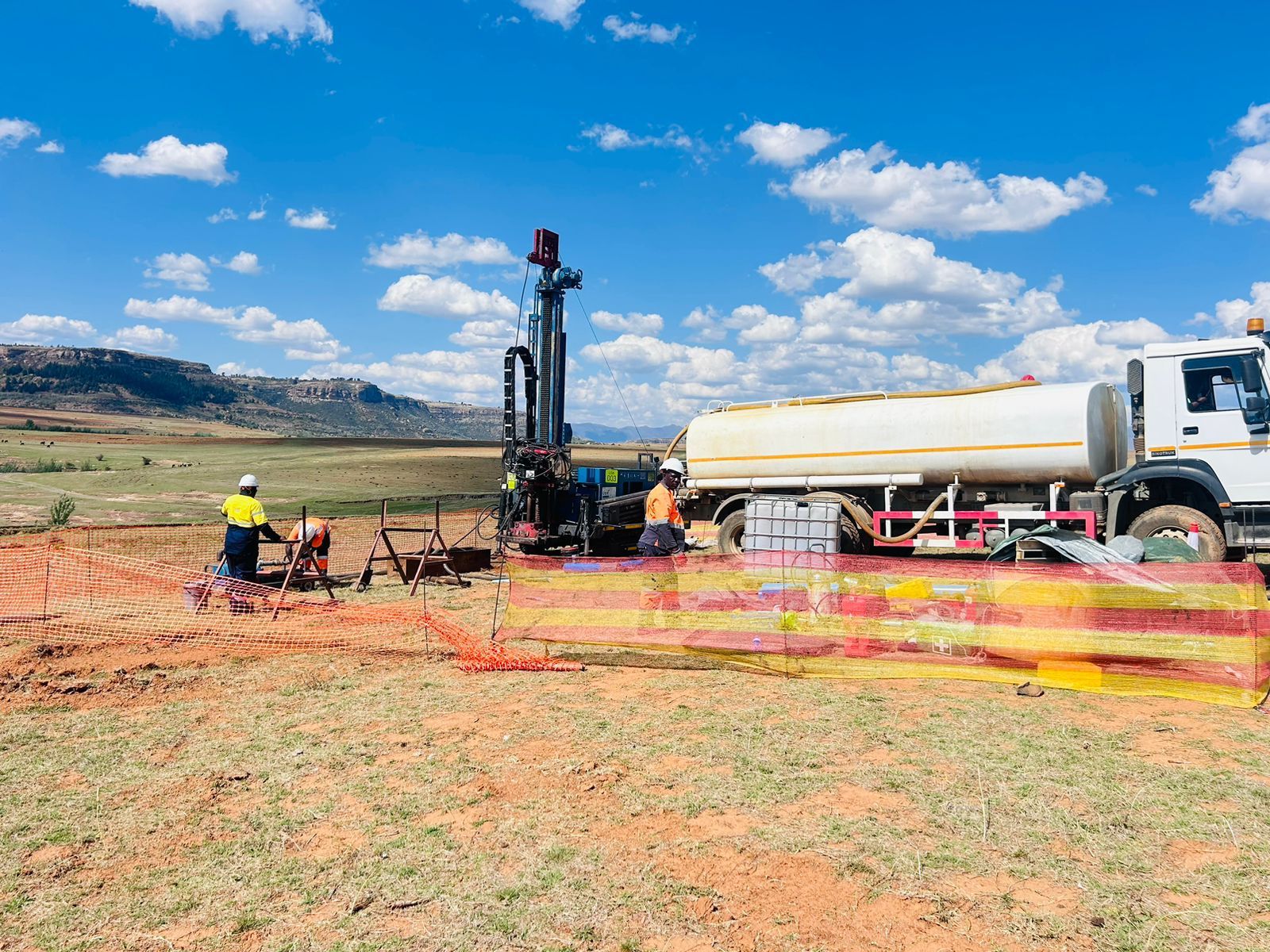
- You need to locate dykes, faults or fractured zones for a borehole
- An engineering site needs bedrock depth and weathered-zone thickness
- Roads, solar plants, mine infrastructure or tailings facilities are planned on uncertain ground
How it works
Our process, step by step
- 01
Define the geological question
Desktop review, geological context and survey objectives.
- 02
Design the survey
Method selection, survey grid or traverses, expected depth and resolution, and field QA/QC.
- 03
Acquire and process data
Systematic field measurements, positioning, corrections and quality assessment.
- 04
Interpret and prioritise
Integrated anomaly maps, sections and recommended investigation targets.
- 05
Verify and report
Ground-truthing recommendations, technical limitations and practical next steps.
What the work covers
- 01Regional reconnaissance and prospect-scale target generation
- 02Structural and lithological mapping for iron ore, coal and other mineral prospects
- 03Gravity surveys for dolomite stability and sinkhole risk
- 04Bedrock and weathering profiles for engineering sites
- 05Groundwater targeting for borehole siting
- 06Integration with geological mapping, borehole logs and exploration models
Standards and references
- SANS 1936
- Gravity survey work for dolomite land informs stability assessments, hazard zonation and development planning under SANS 1936.
- Ground verification
- No single geophysical anomaly independently confirms a cavity or establishes site safety; results are tested against geology and drilling.
Geophysical methods
- 01
Gravity
Measures subtle variations in the gravitational field caused by density contrasts. Used for dolomite investigations, possible cavity-related anomalies, bedrock variation and selected mineral targets.
- 02
Magnetic
Maps variations in magnetic susceptibility to delineate geological contacts, dykes, faults and magnetic mineralisation.
- 03
Electrical resistivity tomography (ERT)
Uses electrode arrays to produce 2D or 3D resistivity models for geological profiling, weathering, groundwater and selected void or contamination studies.
- 04
Frequency-domain EM (FDEM)
Measures subsurface conductivity with alternating electromagnetic fields to map conductive zones, weathering and structures.
- 05
Time-domain EM (TDEM)
Records the decay of induced electromagnetic responses for deeper conductivity investigations, exploration and groundwater targets.
- 06
Seismic refraction
Interprets refracted wave travel times to estimate velocity layering, depth to competent bedrock and weathered-zone thickness.
- 07
Induced polarisation (IP)
Measures the chargeability of subsurface materials, which is particularly useful for disseminated sulphide mineralisation.
Equipment
ERT, TDEM, seismic refraction, IP and specialist techniques such as GPR, MASW, AMT/MT and UAV magnetics are delivered through project-specific equipment hire or specialist collaboration where arranged. Method availability is confirmed in each quotation.
- 01
Scintrex CG-5 gravimeter
Gravity surveys for dolomite land, bedrock variation and exploration targets.
- 02
GEM Systems GSM-19W magnetometer
Magnetic surveys for contacts, dykes, faults and magnetic mineralisation.
- 03
Geonics EM34 conductivity meter
Electromagnetic conductivity surveys for weathering, structures and groundwater targets.
In the field
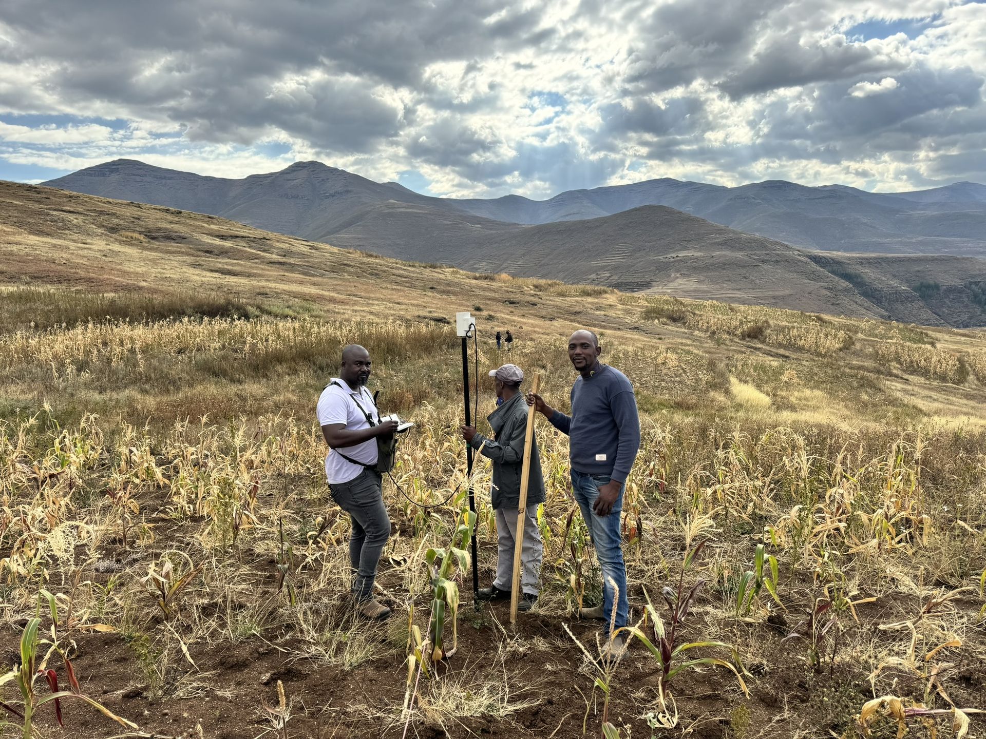
Our geophysics work on site
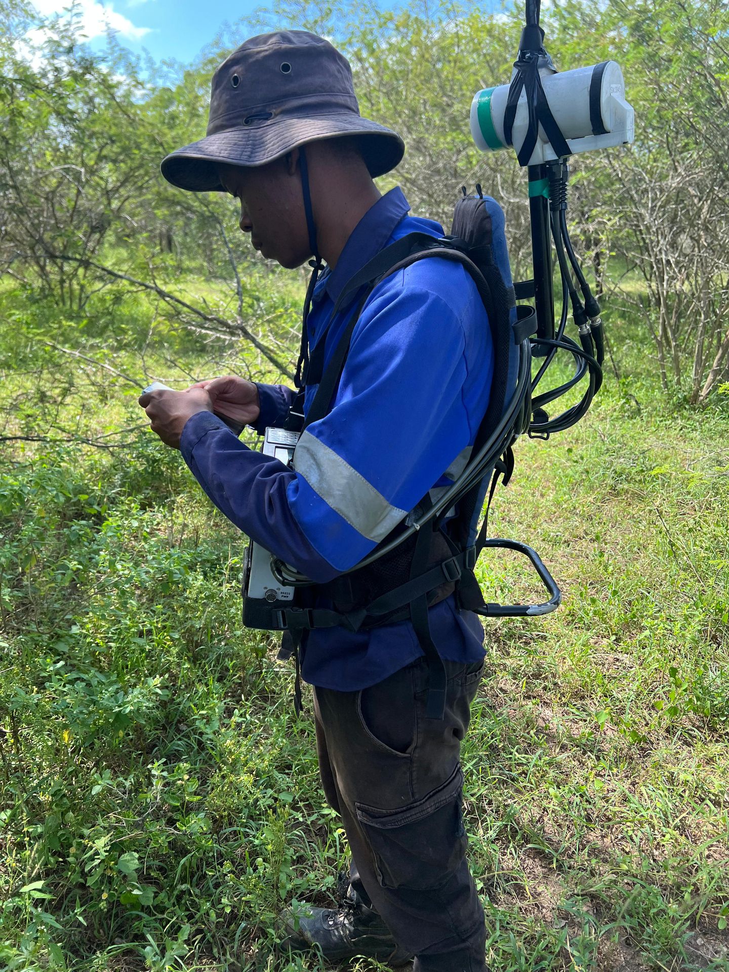
Field technician carrying a backpack magnetometer 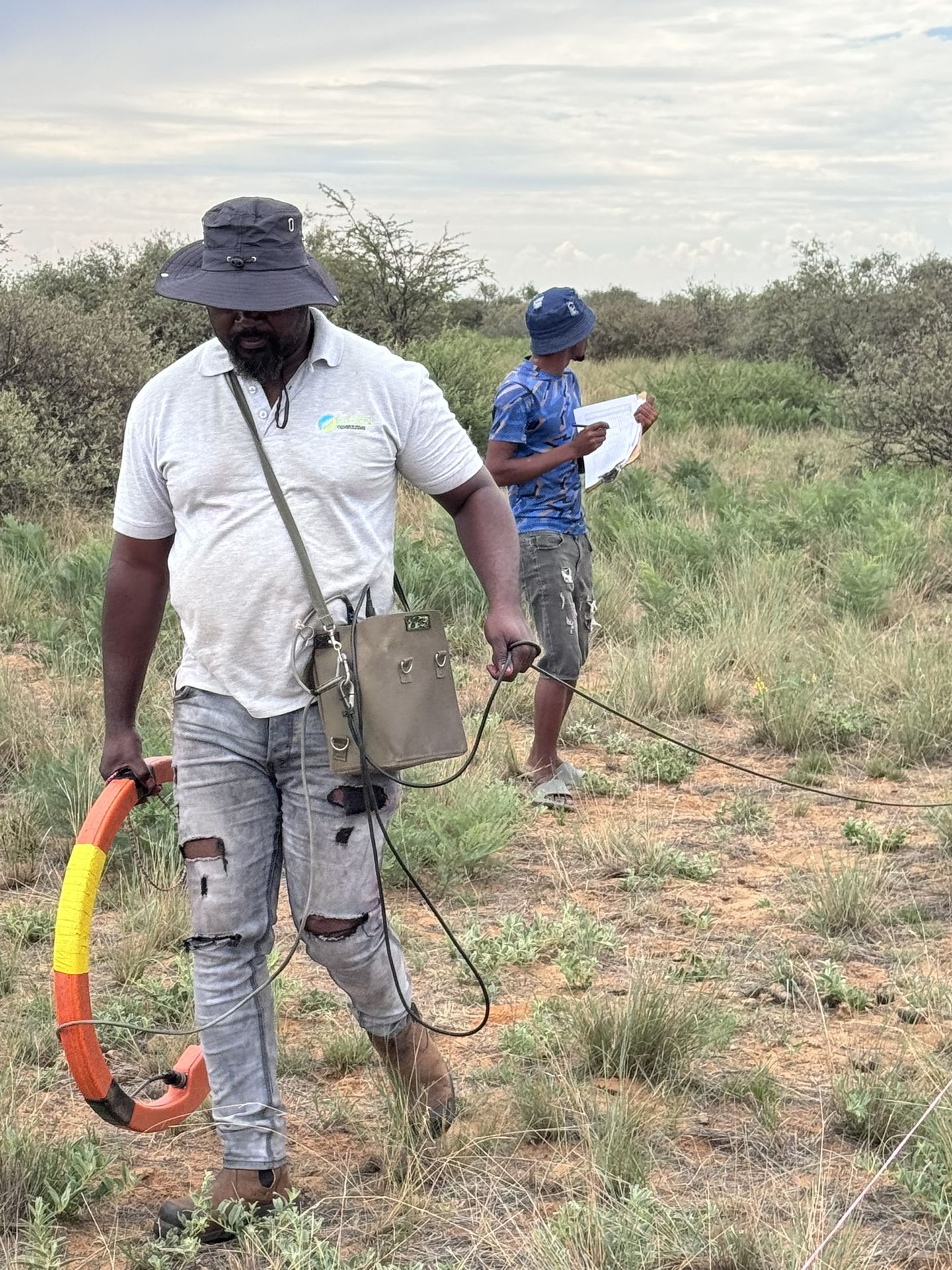
Electromagnetic conductivity survey across open veld 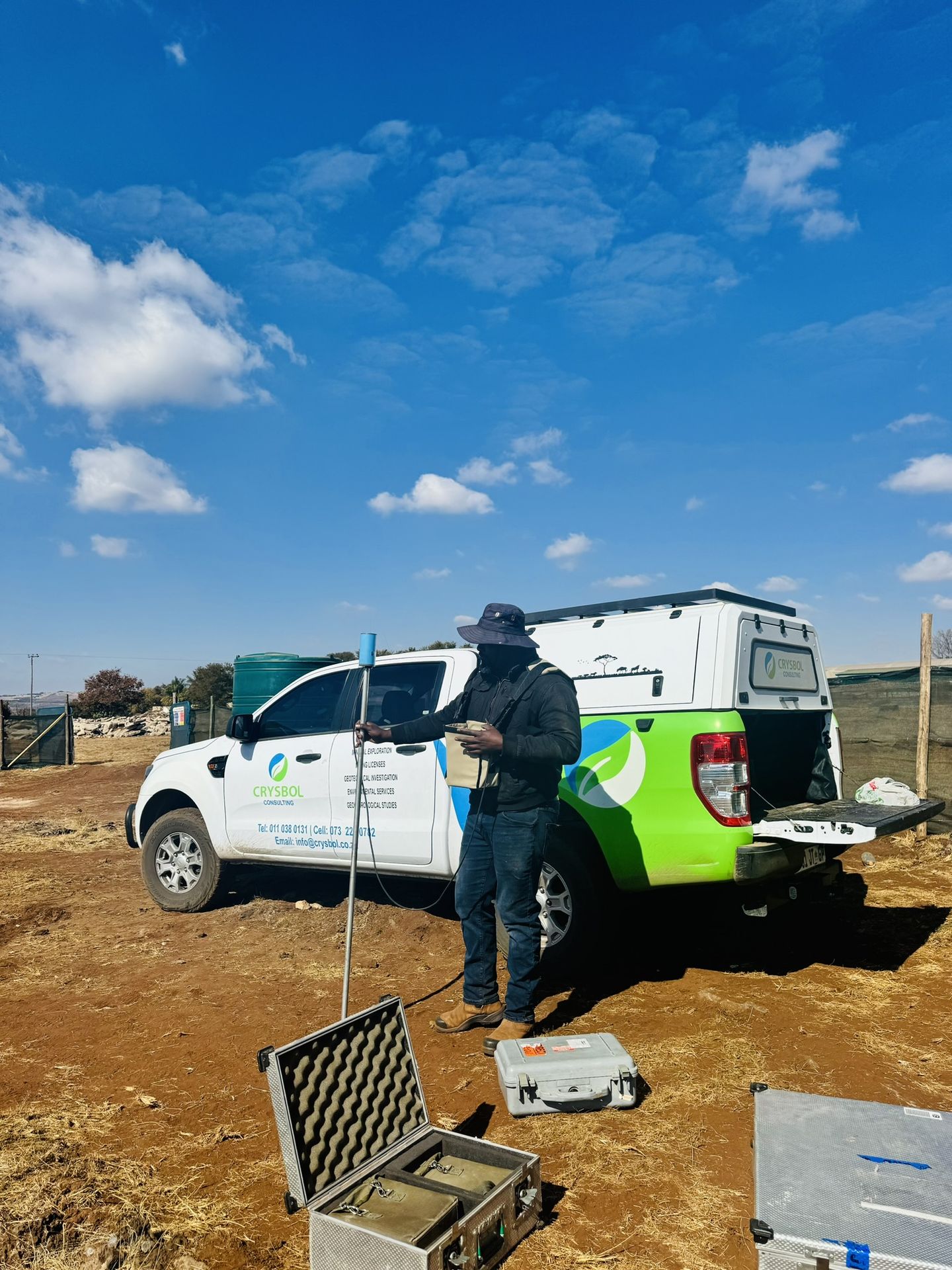
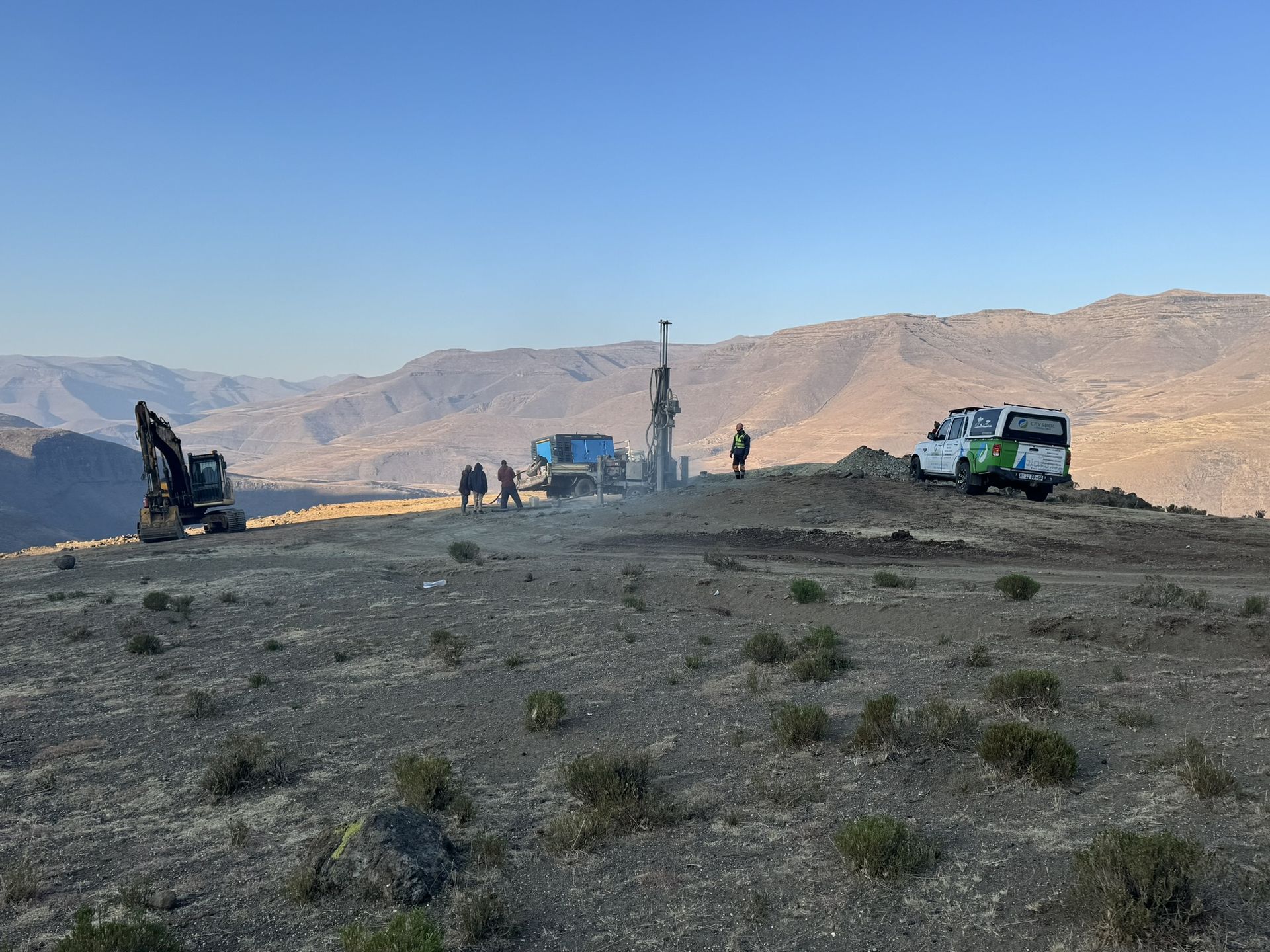
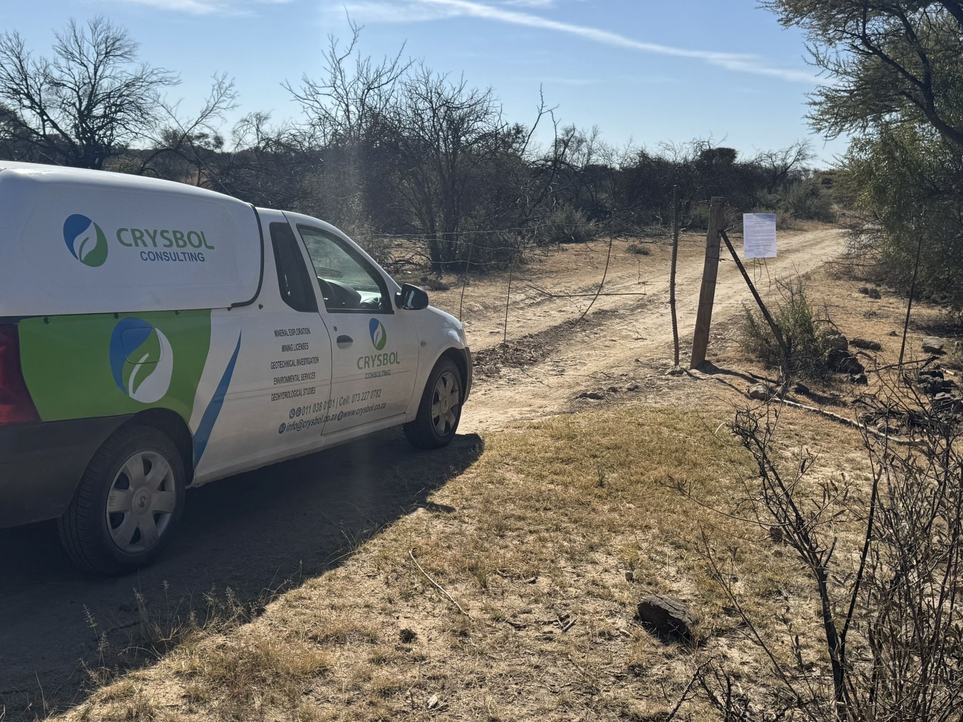
Survey instrument cases beside a Crysbol vehicle 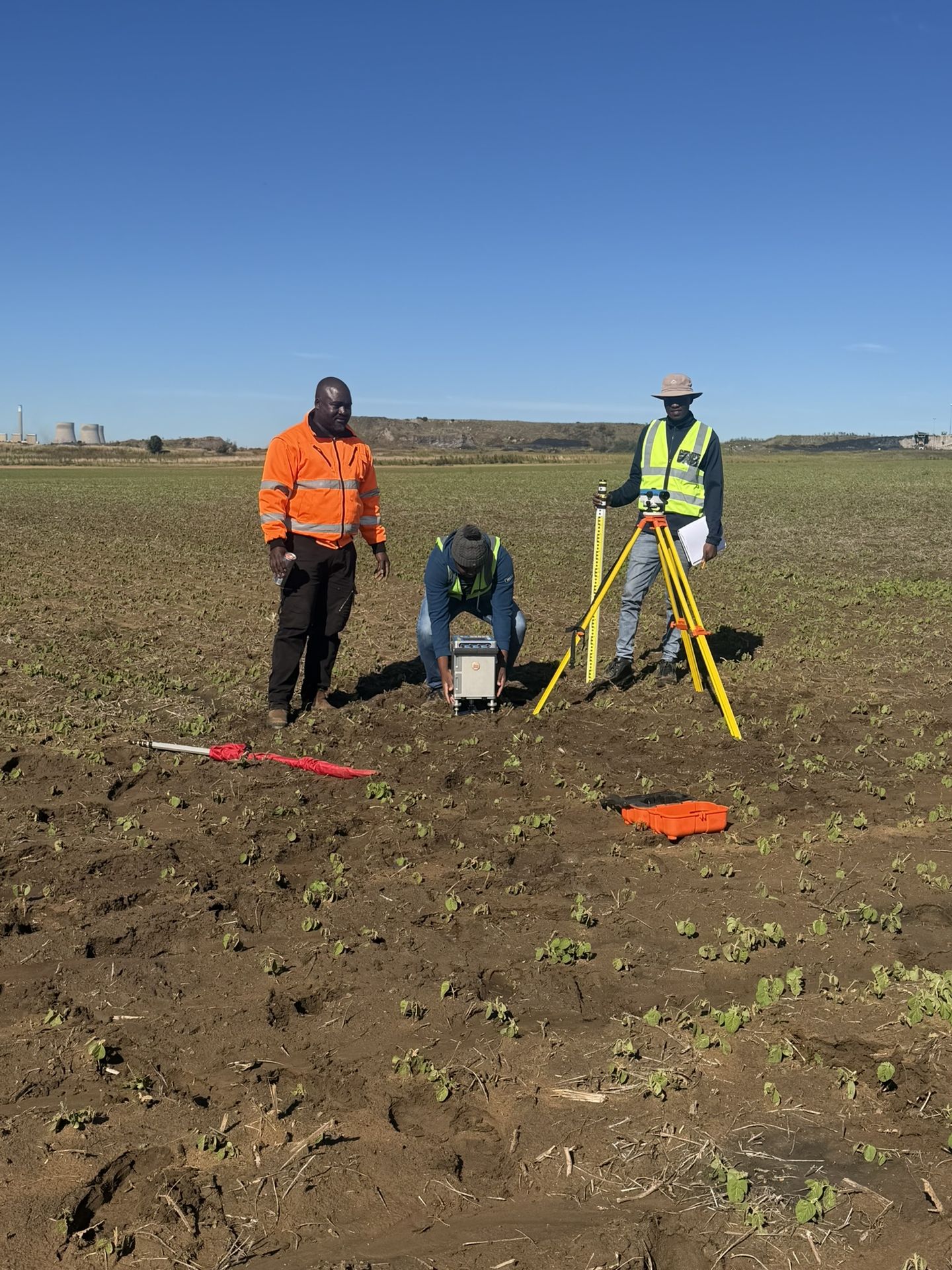
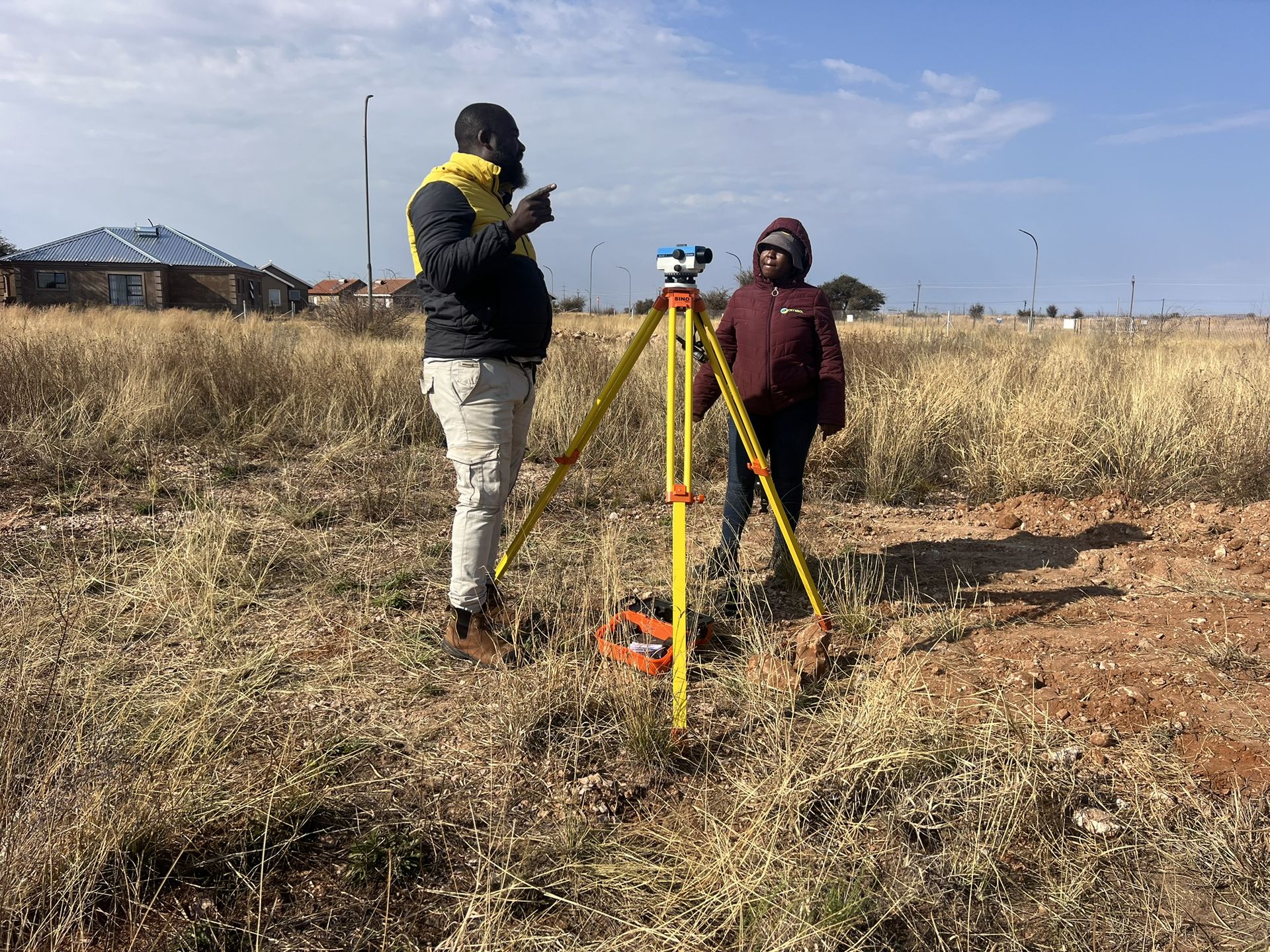
Geophysical field measurements on site 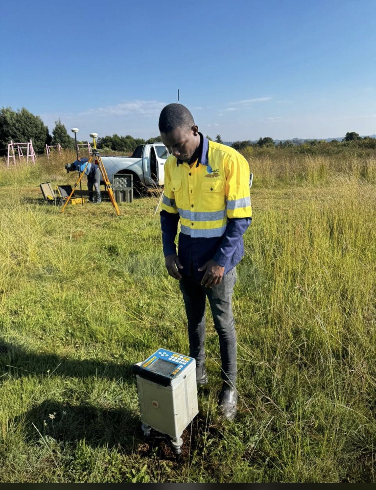
Survey station reading in the field
Recent projects
Geophysical surveys: recent work
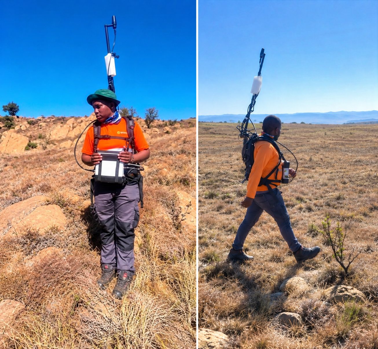
Sekhukhune, Limpopo · August 2026
Ground magnetic survey for chrome exploration at Hoepakrantz
A ground magnetic survey to characterise the subsurface geology and delineate potential chrome-bearing horizons, through systematic measurements, data processing and geological interpretation.
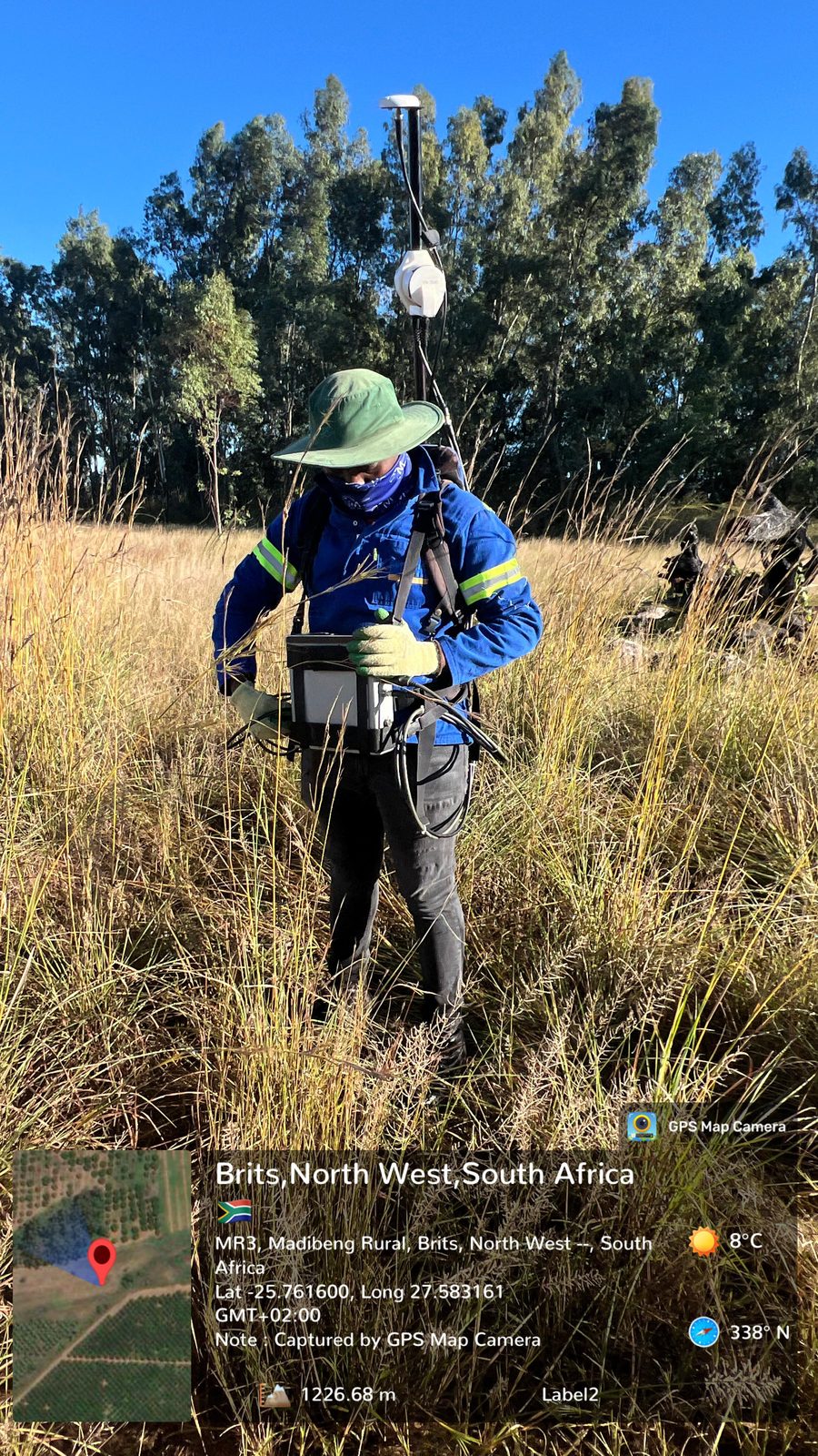
Brits, North West · May 2026
Ground magnetic survey for mineral exploration at Brits
A ground magnetic survey to identify subsurface geological structures, detect magnetic anomalies and delineate potentially mineralised zones.
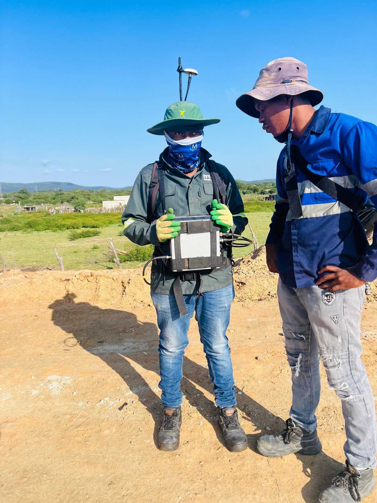
Eswatini · April 2026
Ground magnetic survey for geological structure mapping in Eswatini
A ground magnetic survey to map and characterise subsurface structures, acquiring and interpreting magnetic data to identify faults, lithological boundaries, discontinuities and anomalies.
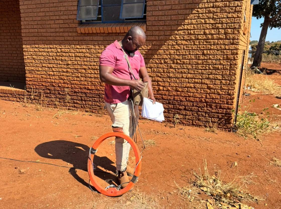
Green Farm, Malamulele, Limpopo · June 2025
Geophysical survey for a new borehole at Tsundzukani Primary School
A desktop study and ground magnetic and electromagnetic surveys to find geological structures with groundwater potential for siting a new borehole.
Questions
Geophysical surveys: frequently asked questions
Can a geophysical survey find sinkholes or cavities?
- Gravity surveys can delineate density contrasts that may be associated with weathered zones, low-density material or possible voids. No single anomaly confirms a cavity or shows that a site is safe, so we integrate the results with geology and confirmatory drilling.
Which geophysical method do I need?
- It depends on the geological question, target depth, resolution and site access. Gravity suits dolomite and bedrock variation, magnetics maps dykes and contacts, ERT and EM map conductivity and weathering, and IP targets disseminated sulphides.
Can geophysics help site a borehole?
- Yes. Magnetic, electromagnetic and resistivity surveys locate dykes, faults and fractured zones that commonly hold groundwater, which improves the chance of a successful borehole.
What equipment do you use?
- Crysbol uses the Scintrex CG-5 gravimeter, GEM Systems GSM-19W magnetometer and Geonics EM34 conductivity meter. Other methods are delivered through equipment hire or specialist collaboration where arranged.
What do I receive at the end of a survey?
- Depending on the project: georeferenced survey layouts, processed maps, anomaly interpretation, cross-sections, prioritised drilling targets and a technical report stating assumptions, limitations and recommendations.
Where we offer it
Geophysical surveys in all nine provinces
- Geophysical surveys in GautengGeophysical surveys for sites in and around Johannesburg and the rest of Gauteng, run by our team from Midrand.
- Geophysical surveys in MpumalangaGeophysical surveys for sites in and around Mbombela and the rest of Mpumalanga, run by our team from Midrand.
- Geophysical surveys in LimpopoGeophysical surveys for sites in and around Polokwane and the rest of Limpopo, run by our team from Midrand.
- Geophysical surveys in North WestGeophysical surveys for sites in and around Mahikeng and the rest of North West, run by our team from Midrand.
- Geophysical surveys in Free StateGeophysical surveys for sites in and around Bloemfontein and the rest of Free State, run by our team from Midrand.
- Geophysical surveys in KwaZulu-NatalGeophysical surveys for sites in and around Pietermaritzburg and the rest of KwaZulu-Natal, run by our team from Midrand.
- Geophysical surveys in Northern CapeGeophysical surveys for sites in and around Kimberley and the rest of Northern Cape, run by our team from Midrand.
- Geophysical surveys in Eastern CapeGeophysical surveys for sites in and around Bhisho and the rest of Eastern Cape, run by our team from Midrand.
- Geophysical surveys in Western CapeGeophysical surveys for sites in and around Cape Town and the rest of Western Cape, run by our team from Midrand.
Related services
All services


Need geophysics support?
Send us the site location and a short description of the work. We will reply with a scope and quote, usually within two working days.