

Free State · Ngwathe Local Municipality
Geoscience, drilling & groundwater services in Koppies
Bentonite permits, irrigation and geotechnical work around Koppies, a Ngwathe town on the Renoster River below Koppies Dam.
Working in Koppies
Koppies was laid out in 1910 and became a municipality in 1926, taking its name from the farm Honingkopjes. It lies near the Renoster River about 63 km north-east of Kroonstad, with Kwakwatsi township alongside.
Koppies Dam, which General Christiaan de Wet pressed to have built for irrigation, is the only large dam on the Renoster and was raised in the 1960s. Bentonite clay is mined in the district for industrial use.
- Municipality
- Ngwathe Local Municipality
- From Midrand
- ~150 km straight line
- Coordinates
- 27.24°S 27.58°E
Also covering from Koppies
Edenville · Kwakwatsi
Local ground conditions
What we look out for in Koppies
- 01
Bentonite clays
Bentonite swells strongly when wet, so the property that makes it valuable also makes ground containing it a problem for foundations and roads.
- 02
Renoster River irrigation
Farms below Koppies Dam irrigate from the Renoster, and their return flows and the town's effluent affect water quality further downstream.
For the wider regional geology, see our Free State service area page.
Services
Most requested in Koppies
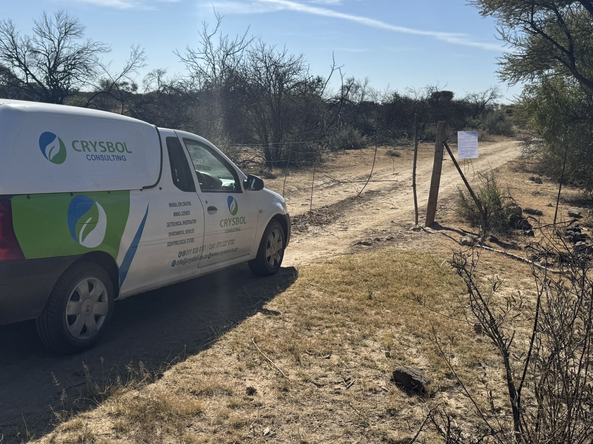
Mining & prospecting right applications in Koppies
Mining right amendments, prospecting rights and work programmes for bentonite and other industrial mineral projects.

Geotechnical & dolomite investigations in Koppies
Geotechnical investigations on swelling clays for housing in Koppies and Kwakwatsi, roads and farm buildings.
Also availableBorehole yield testing in KoppiesCore drilling in KoppiesGeophysical surveys in KoppiesGeohydrological studies in KoppiesMineral exploration & mining geology in KoppiesLand & engineering surveying in KoppiesWater purification & backup water in Koppies
Have a site in or near Koppies?
Send us the location and what you need. We plan field work to cover several sites per trip and usually reply with a scope and quote within two working days.