

Eastern Cape · Umzimvubu Local Municipality
Geohydrological studies in KwaBhaca (Mount Frere)
Borehole and spring assessments for village water schemes, schools and clinics across the Umzimvubu municipality.
Working in KwaBhaca (Mount Frere)
Geohydrology for sites in and around KwaBhaca (Mount Frere)
One of our most requested services in KwaBhaca (Mount Frere)
Crysbol Consulting provides professional geotechnical investigations, geophysical surveys, groundwater exploration and drilling services in KwaBhaca (Mount Frere) and surrounding areas. Our experienced technical teams are equipped to undertake projects of varying sizes, delivering reliable site investigations and practical solutions tailored to each client's requirements.
KwaBhaca, formerly Mount Frere, is a busy N2 town between Mthatha and Kokstad and the main town of the Umzimvubu municipality. Its name refers to the amaBhaca people of the area, and it serves a large rural population in the surrounding hills.
From KwaBhaca (Mount Frere) we also cover MaXesibeni (Mount Ayliff).
Ground conditions in KwaBhaca (Mount Frere)
Karoo rocks and dolerite ridges
Shale, mudstone and sandstone of the Karoo Supergroup underlie the hills, cut by dolerite dykes and sills that stand out as ridges and control where boreholes find water.
Steep, erodible slopes
High summer rainfall on steep slopes causes gully erosion and small slips, especially where roads and building platforms are cut into weathered mudstone.
When you need it
When you need geohydrology in KwaBhaca (Mount Frere)
- You need a water use licence or general authorisation for groundwater use
- A mine, landfill, cemetery or industrial site needs a groundwater impact assessment
- You want to drill a production borehole and need the best place to drill
- You need a groundwater monitoring network or regular monitoring reports
How it works
Our process, step by step
- 01
Desktop review and hydrocensus
We gather existing data and visit nearby boreholes and springs to record water levels, use and quality.
- 02
Geophysical siting
Magnetic and electrical resistivity surveys locate structures such as dolerite dykes, contacts and faults that are likely to hold water.
- 03
Drilling and testing
Monitoring or production boreholes are drilled and test-pumped to measure aquifer properties.
- 04
Modelling
Where needed, a numerical model predicts groundwater flow, drawdown and contaminant movement.
- 05
Reporting and monitoring
A specialist report for the authority, and a monitoring plan to track water levels and quality over time.
Recent projects
Geohydrological studies: recent work
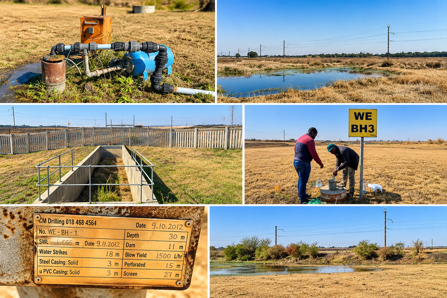
Ekurhuleni Metropolitan Municipality, Gauteng · August 2026
Geohydrological assessment for the Welgedacht Water Care Works upgrade
An assessment for the proposed 60 ML/day Module 3 upgrade, covering a desktop study, hydrocensus, groundwater quality and availability, a source–pathway–receptor assessment and a groundwater monitoring and management programme.
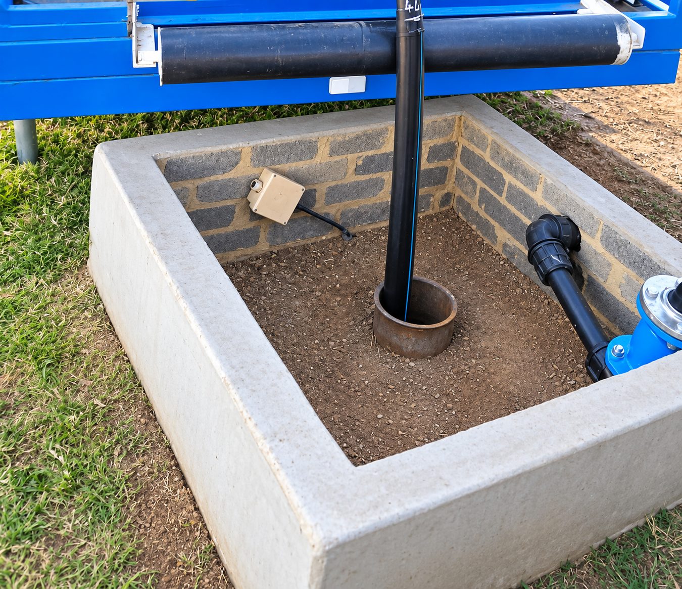
Hekpoort, Gauteng · August 2026
Geohydrological study for Eagle Valley Poultry
A groundwater investigation for the poultry farm, with a hydrocensus, aquifer pump testing, groundwater quality assessment and an evaluation of sustainable water supply.
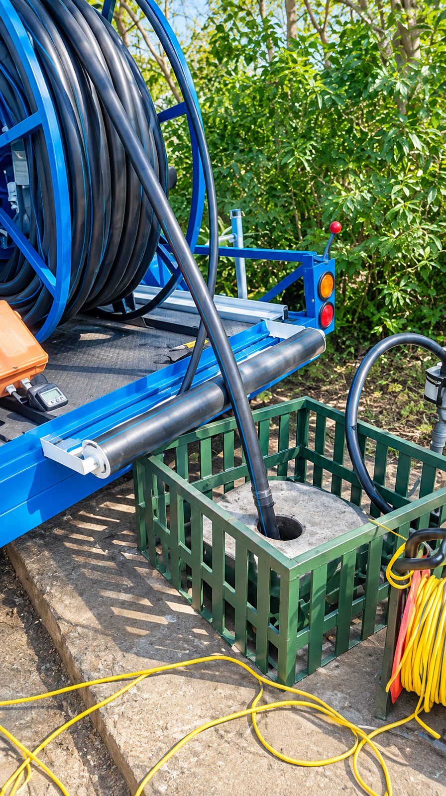
Hennops River Valley, Gauteng · July 2026
Geohydrological study for Hennops Free Range Poultry
An assessment of two existing production boreholes, with a 2 km hydrocensus, aquifer yield testing, groundwater quality sampling, an availability and impact assessment and a monitoring programme.
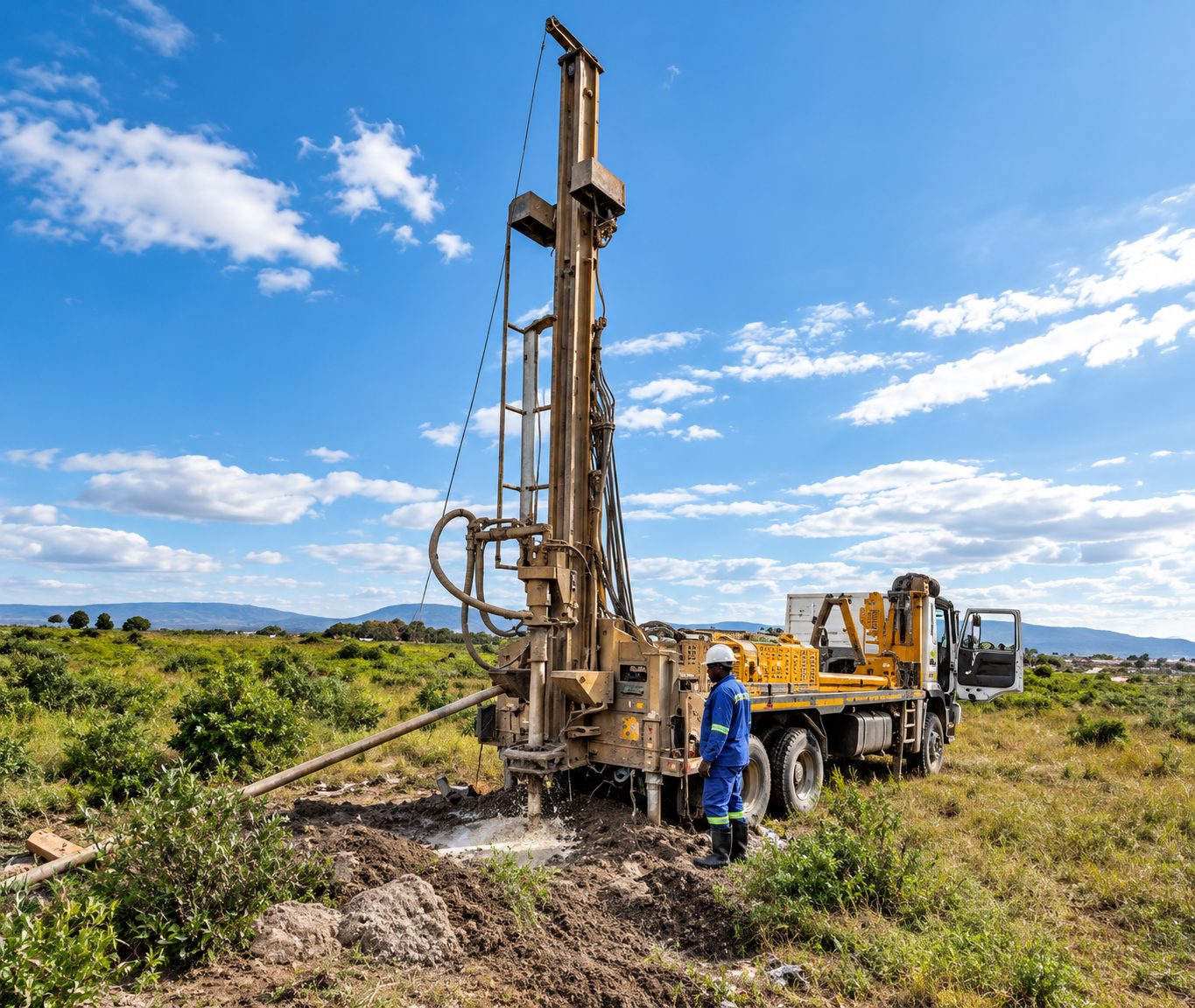
Jane Furse, Sekhukhune, Limpopo · March 2026
Hydrogeological study for a government office complex at Jane Furse
An investigation to establish groundwater potential and develop production boreholes, covering a desktop study, hydrocensus, magnetic and electromagnetic surveys, borehole siting and drilling, yield testing, water quality analysis and management recommendations.
Questions
Geohydrological studies in KwaBhaca (Mount Frere): questions
Do you offer geohydrological studies in KwaBhaca (Mount Frere)?
- Yes. Borehole and spring assessments for village water schemes, schools and clinics across the Umzimvubu municipality. Crysbol Consulting provides professional geotechnical investigations, geophysical surveys, groundwater exploration and drilling services in KwaBhaca (Mount Frere) and surrounding areas. Our experienced technical teams are equipped to undertake projects of varying sizes, delivering reliable site investigations and practical solutions tailored to each client's requirements.
How do I get a quote for geohydrology work in KwaBhaca (Mount Frere)?
- Send us the site location and a short description of the work through our quote form, or call 010 102 3591. We usually reply with a scope and a quote within two working days.
Do I need a water use licence for a borehole?
- Many domestic and small-scale uses are allowed under Schedule 1 or a general authorisation. Larger abstraction, and most mining and industrial use, needs registration or a water use licence under the National Water Act. We can confirm which applies to you.
How do you decide where to drill a borehole?
- We study the geology and use geophysical surveys to find fractures, contacts and dykes likely to hold water. Siting cannot guarantee water, but it greatly improves the odds compared with drilling blind.
Nearby
Geohydrological studies near KwaBhaca (Mount Frere)
Geohydrological studies in Eastern CapeAll services in KwaBhaca (Mount Frere)
Also in KwaBhaca (Mount Frere)
- Geotechnical & dolomite investigations in KwaBhaca (Mount Frere)
- Borehole yield testing in KwaBhaca (Mount Frere)
- Core drilling in KwaBhaca (Mount Frere)
- Geophysical surveys in KwaBhaca (Mount Frere)
- Mineral exploration & mining geology in KwaBhaca (Mount Frere)
- Mining & prospecting right applications in KwaBhaca (Mount Frere)
- Land & engineering surveying in KwaBhaca (Mount Frere)
- Water purification & backup water in KwaBhaca (Mount Frere)
Need geohydrology in KwaBhaca (Mount Frere)?
Send us the site location and what you need. We plan field work to cover several sites per trip and usually reply with a scope and quote within two working days.