
Western Cape · Saldanha Bay Local Municipality
Geophysical surveys in Saldanha
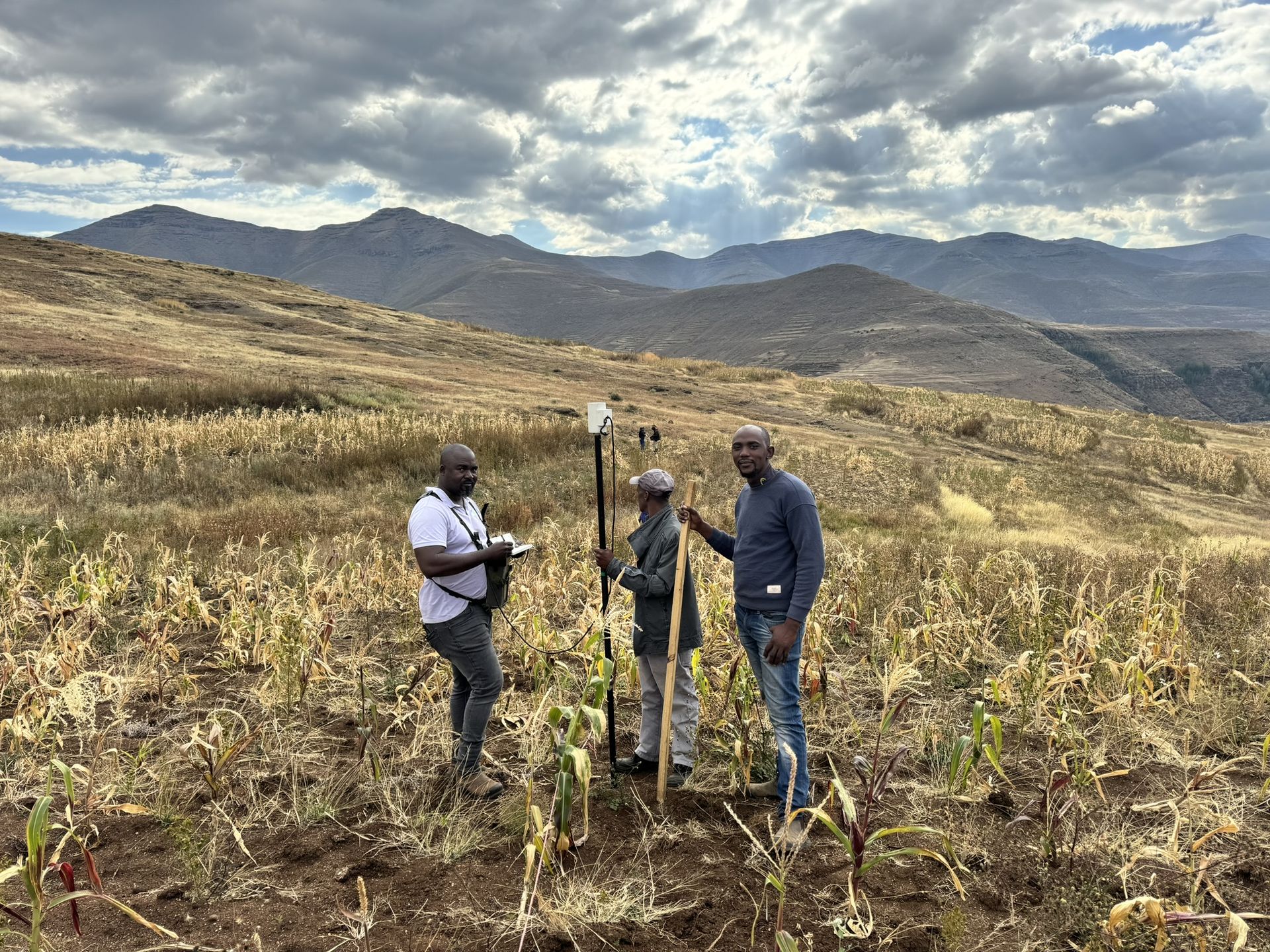
Geophysical surveys for sites in and around Saldanha, run by our team from Midrand.
Working in Saldanha
Geophysics for sites in and around Saldanha
Crysbol Consulting provides professional geotechnical investigations, geophysical surveys, groundwater exploration and drilling services in Saldanha and surrounding areas. Our experienced technical teams are equipped to undertake projects of varying sizes, delivering reliable site investigations and practical solutions tailored to each client's requirements.
Saldanha has the country's largest natural harbour and exports iron ore railed from Sishen in the Northern Cape. Freeport Saldanha is developing an industrial zone around the port for marine and energy services.
From Saldanha we also cover Hopefield, Jacobsbaai, Langebaan and Yzerfontein.
Ground conditions in Saldanha
Granite and calcrete
Cape granite forms the headlands and shallow bedrock around the bay, overlain in places by calcrete and the Langebaan limestone.
Langebaan Road aquifer
A sandy primary aquifer inland of the bay supplies part of the area's water and was declared a government water control area in 1976 to protect it.
When you need it
When you need geophysics in Saldanha
- You want to identify exploration targets before committing to costly drilling
- You are developing on dolomitic land and need gravity data for a stability assessment
- You need to locate dykes, faults or fractured zones for a borehole
- An engineering site needs bedrock depth and weathered-zone thickness
- Roads, solar plants, mine infrastructure or tailings facilities are planned on uncertain ground
How it works
Our process, step by step
- 01
Define the geological question
Desktop review, geological context and survey objectives.
- 02
Design the survey
Method selection, survey grid or traverses, expected depth and resolution, and field QA/QC.
- 03
Acquire and process data
Systematic field measurements, positioning, corrections and quality assessment.
- 04
Interpret and prioritise
Integrated anomaly maps, sections and recommended investigation targets.
- 05
Verify and report
Ground-truthing recommendations, technical limitations and practical next steps.
Recent projects
Geophysical surveys: recent work
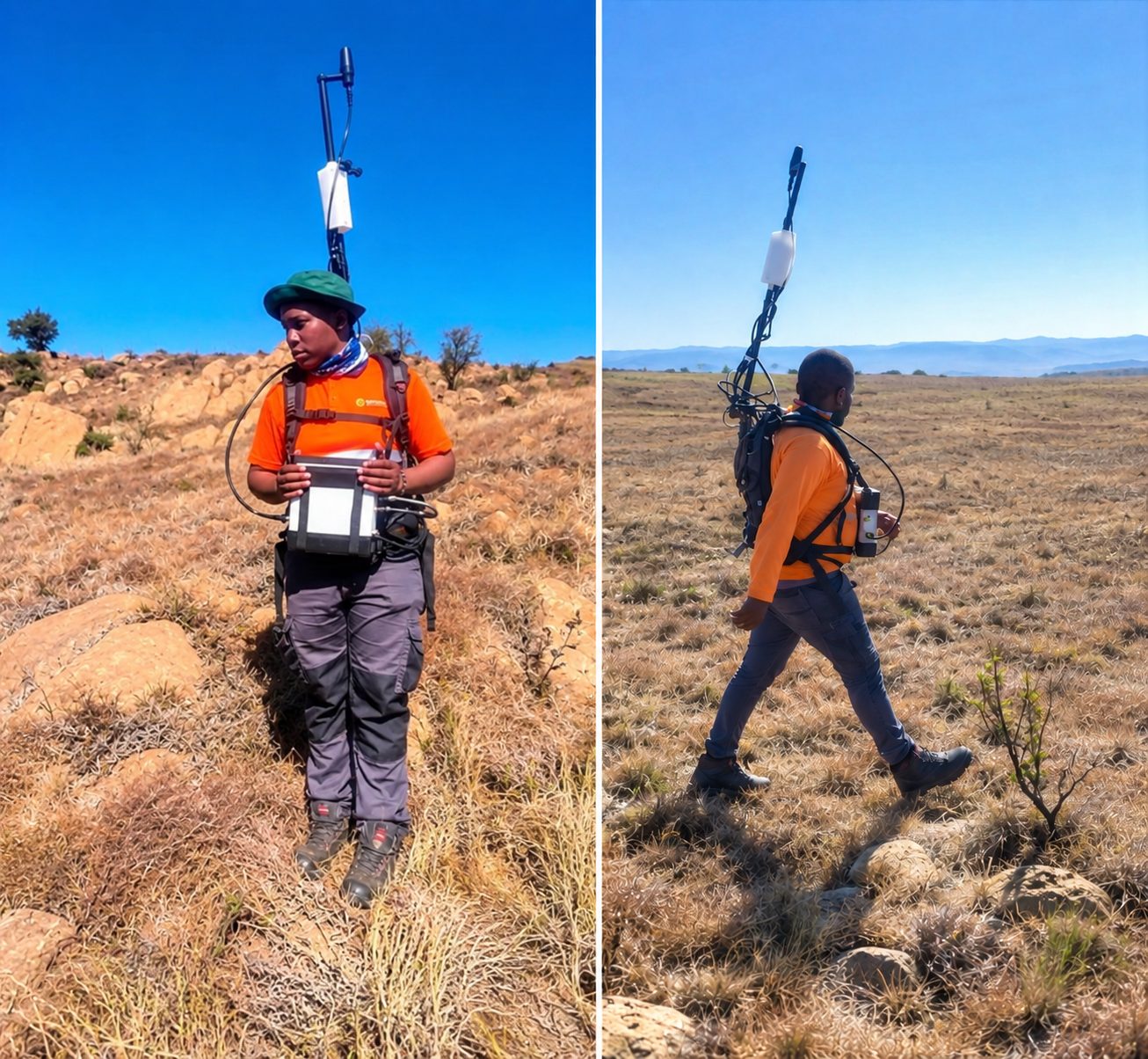
Sekhukhune, Limpopo · August 2026
Ground magnetic survey for chrome exploration at Hoepakrantz
A ground magnetic survey to characterise the subsurface geology and delineate potential chrome-bearing horizons, through systematic measurements, data processing and geological interpretation.
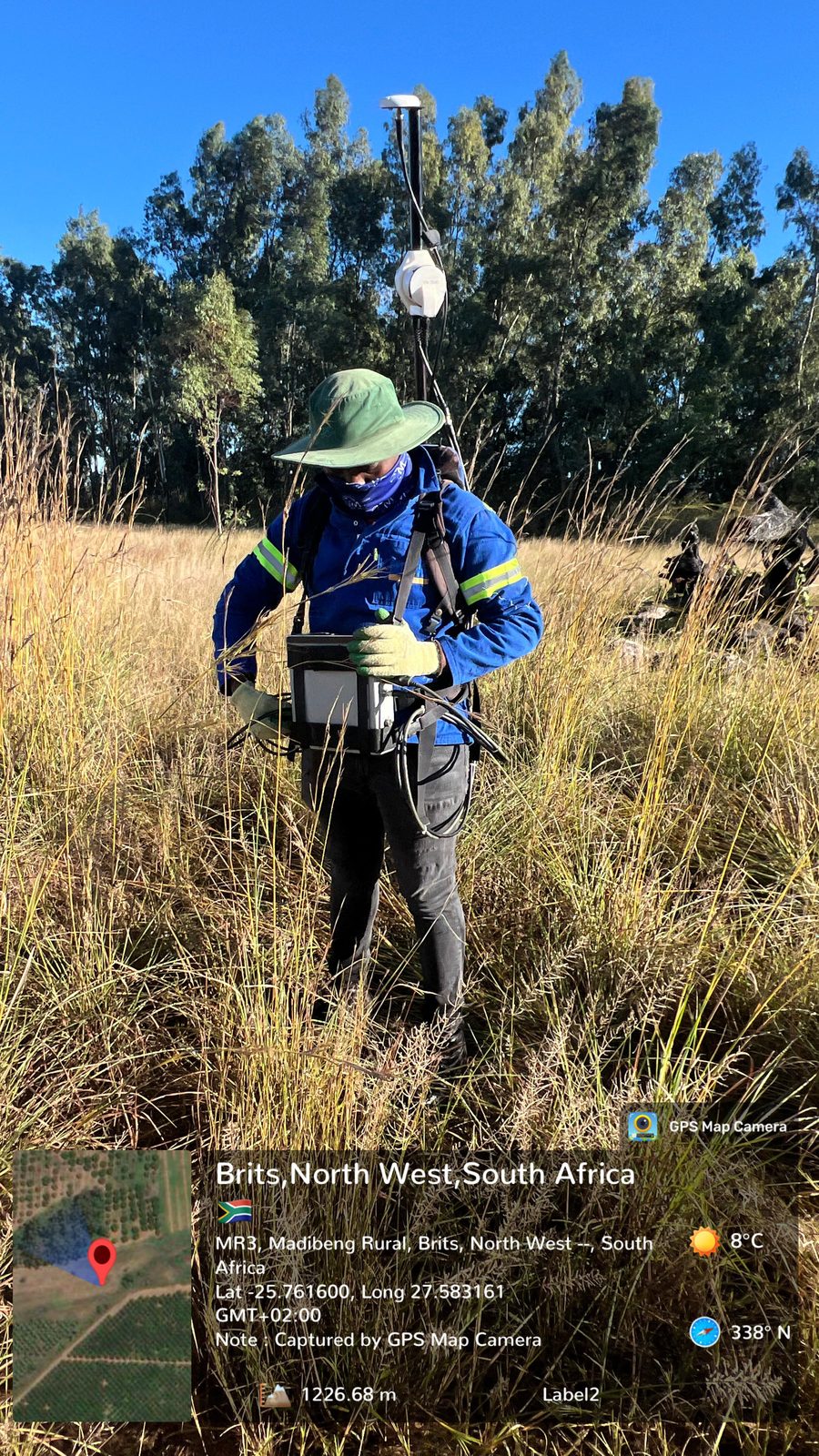
Brits, North West · May 2026
Ground magnetic survey for mineral exploration at Brits
A ground magnetic survey to identify subsurface geological structures, detect magnetic anomalies and delineate potentially mineralised zones.
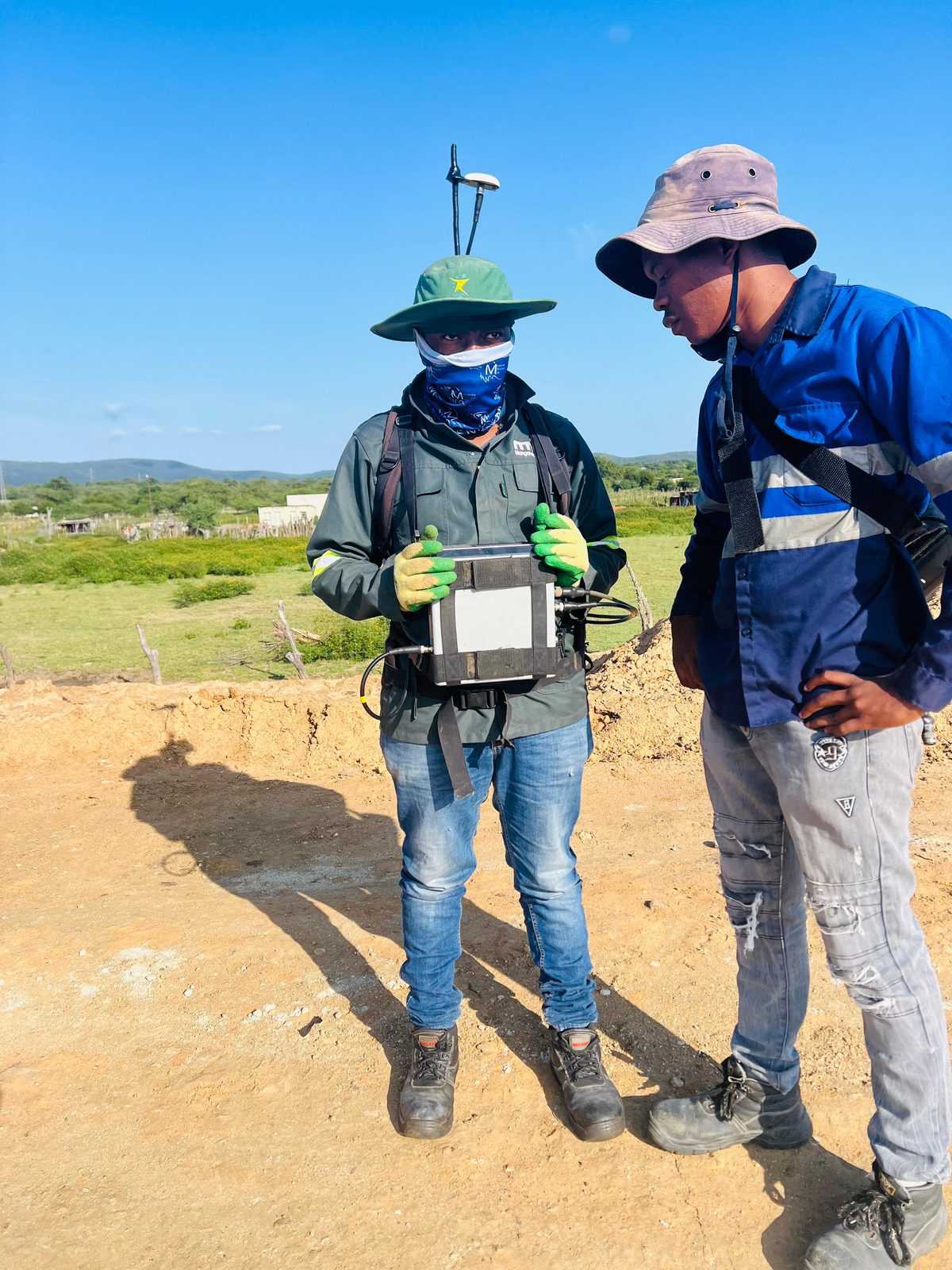
Eswatini · April 2026
Ground magnetic survey for geological structure mapping in Eswatini
A ground magnetic survey to map and characterise subsurface structures, acquiring and interpreting magnetic data to identify faults, lithological boundaries, discontinuities and anomalies.
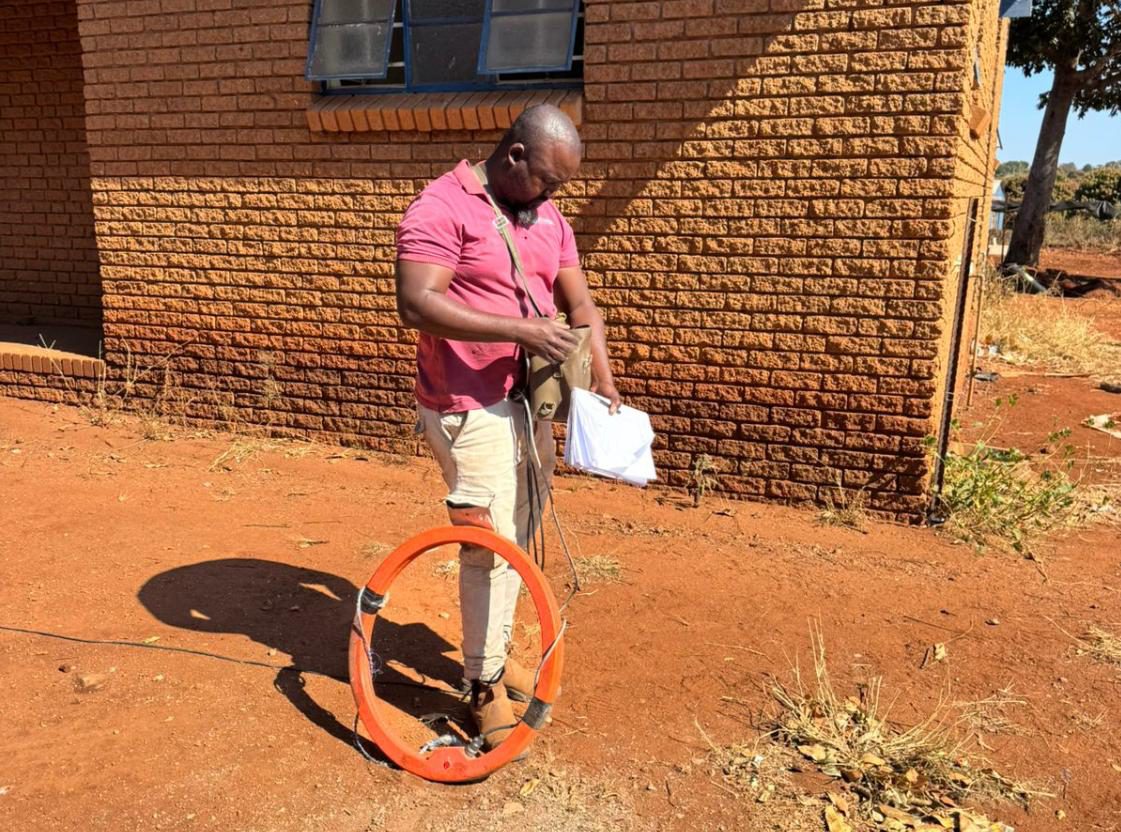
Green Farm, Malamulele, Limpopo · June 2025
Geophysical survey for a new borehole at Tsundzukani Primary School
A desktop study and ground magnetic and electromagnetic surveys to find geological structures with groundwater potential for siting a new borehole.
Questions
Geophysical surveys in Saldanha: questions
Do you offer geophysical surveys in Saldanha?
- Yes. Geophysical surveys for sites in and around Saldanha, run by our team from Midrand. Crysbol Consulting provides professional geotechnical investigations, geophysical surveys, groundwater exploration and drilling services in Saldanha and surrounding areas. Our experienced technical teams are equipped to undertake projects of varying sizes, delivering reliable site investigations and practical solutions tailored to each client's requirements.
How do I get a quote for geophysics work in Saldanha?
- Send us the site location and a short description of the work through our quote form, or call 010 102 3591. We usually reply with a scope and a quote within two working days.
Can a geophysical survey find sinkholes or cavities?
- Gravity surveys can delineate density contrasts that may be associated with weathered zones, low-density material or possible voids. No single anomaly confirms a cavity or shows that a site is safe, so we integrate the results with geology and confirmatory drilling.
Which geophysical method do I need?
- It depends on the geological question, target depth, resolution and site access. Gravity suits dolomite and bedrock variation, magnetics maps dykes and contacts, ERT and EM map conductivity and weathering, and IP targets disseminated sulphides.
Nearby
Geophysical surveys near Saldanha
Also in Saldanha
- Geotechnical & dolomite investigations in Saldanha
- Borehole yield testing in Saldanha
- Core drilling in Saldanha
- Geohydrological studies in Saldanha
- Mineral exploration & mining geology in Saldanha
- Mining & prospecting right applications in Saldanha
- Land & engineering surveying in Saldanha
- Water purification & backup water in Saldanha
Need geophysics in Saldanha?
Send us the site location and what you need. We plan field work to cover several sites per trip and usually reply with a scope and quote within two working days.