

Free State · Matjhabeng Local Municipality
Geoscience, drilling & groundwater services in Allanridge
Mining geology, tailings and groundwater work in Allanridge, the goldfields town named after the man whose borehole found the reef.
Working in Allanridge
Allanridge was established in 1947 at the northern end of the Free State goldfields and named after Allan Roberts, whose borehole near the gold-bearing reef led to mining in the area. It became a municipality in 1956 and has been part of Matjhabeng Local Municipality since 2000.
The town grew as the centre of the Loraine gold mine, whose headgear and reduction works have long dominated its skyline. Odendaalsrus lies about 15 km to the south, with Welkom beyond it.
- Municipality
- Matjhabeng Local Municipality
- From Midrand
- ~240 km straight line
- Coordinates
- 27.75°S 26.64°E
Local ground conditions
What we look out for in Allanridge
- 01
Dolerite in the cover rocks
Thick dolerite sills cut the Karoo rocks that lie over the reefs, and they control both where farm boreholes find water and how shafts and deep excavations behave.
- 02
Shaft and plant footprints
Old shaft areas, reduction works and slimes dams leave compacted, contaminated or loose ground that needs investigation before it is reused.
For the wider regional geology, see our Free State service area page.
Services
Most requested in Allanridge
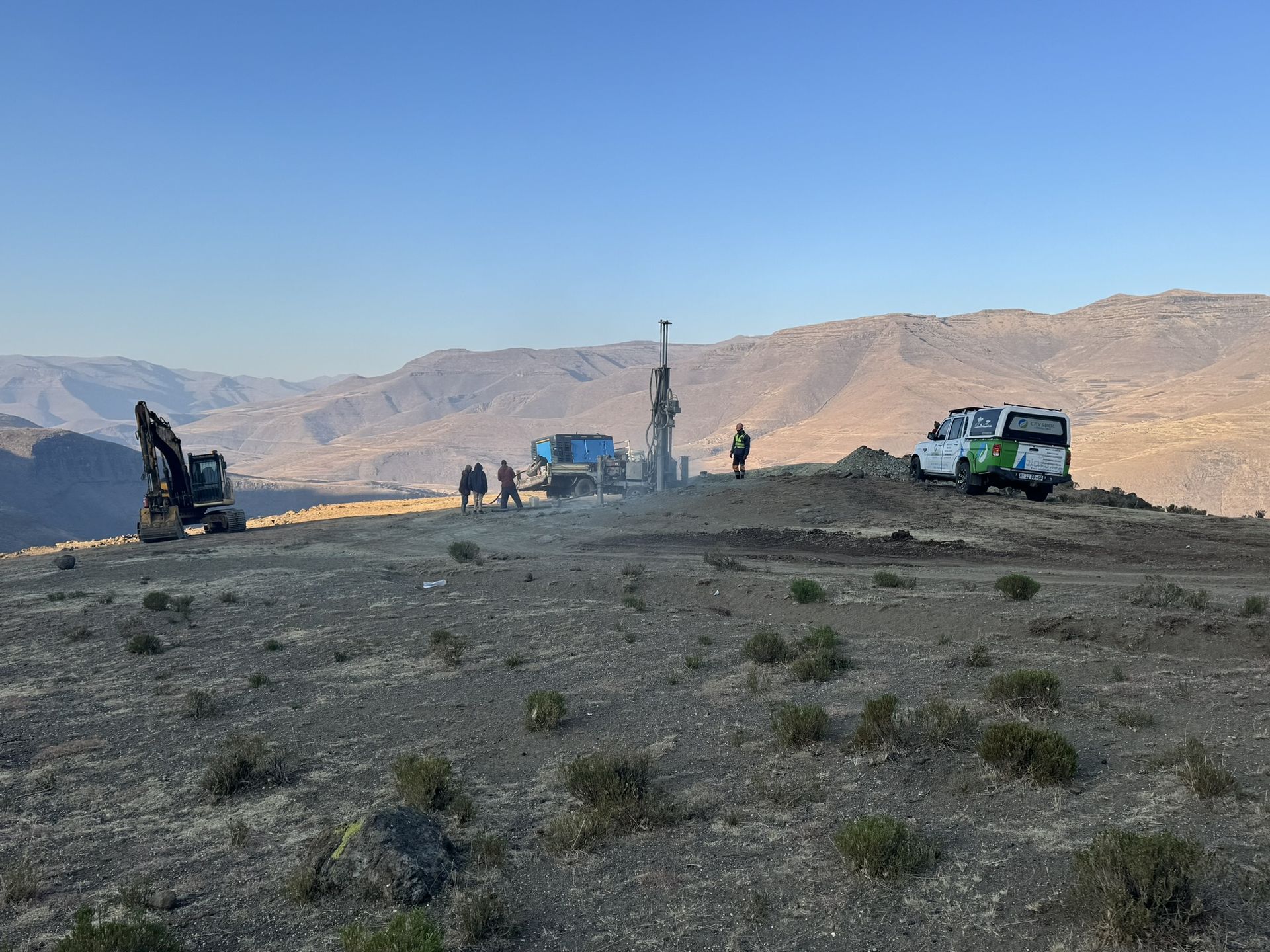
Mineral exploration & mining geology in Allanridge
Tailings sampling, resource estimates and geological support for gold retreatment and remaining mining in the northern goldfield.

Geohydrological studies in Allanridge
Groundwater monitoring and seepage assessments around slimes dams and neighbouring farm boreholes.
Also availableGeotechnical & dolomite investigations in AllanridgeBorehole yield testing in AllanridgeCore drilling in AllanridgeGeophysical surveys in AllanridgeMining & prospecting right applications in AllanridgeLand & engineering surveying in AllanridgeWater purification & backup water in Allanridge
Have a site in or near Allanridge?
Send us the location and what you need. We plan field work to cover several sites per trip and usually reply with a scope and quote within two working days.