

Free State · Matjhabeng Local Municipality
Geoscience, drilling & groundwater services in Welkom
Mining geology, tailings and groundwater work in Welkom, the main town of the Free State goldfields.
Working in Welkom
Welkom was laid out in the late 1940s as the planned centre of the new Free State goldfields. Deep gold mines surround the town, and many of the older shafts have since closed.
As mining shrinks, closure, tailings retreatment and the reuse of mine land have become as important as mining itself. Large saline pans, including Flamingo Pan and Theronia Pan, lie on the south-western side of the town.
- Municipality
- Matjhabeng Local Municipality
- From Midrand
- ~260 km straight line
- Coordinates
- 27.98°S 26.73°E
Also covering from Welkom
Riebeeckstad
Local ground conditions
What we look out for in Welkom
- 01
Deep reefs under Karoo cover
The gold reefs lie deep beneath a cover of younger Karoo rocks, so they were only found by drilling, and exploration here still depends on deep boreholes.
- 02
Saline pans and soft clays
Around the pans, salty shallow groundwater and soft clay soils affect foundations, pipelines and the design of any mine water storage.
For the wider regional geology, see our Free State service area page.
Services
Most requested in Welkom
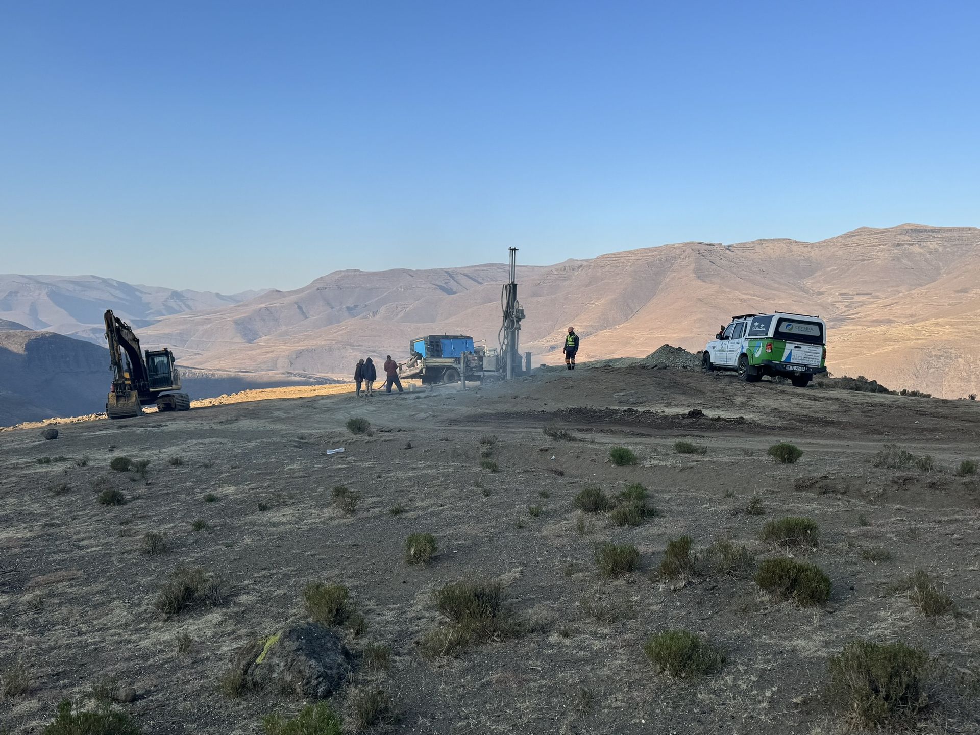
Mineral exploration & mining geology in Welkom
Mining geology support, tailings sampling and resource work for gold operations and retreatment projects.

Geohydrological studies in Welkom
Mine water, tailings seepage and groundwater monitoring studies across the goldfields.
Also availableGeotechnical & dolomite investigations in WelkomBorehole yield testing in WelkomCore drilling in WelkomGeophysical surveys in WelkomMining & prospecting right applications in WelkomLand & engineering surveying in WelkomWater purification & backup water in Welkom
Have a site in or near Welkom?
Send us the location and what you need. We plan field work to cover several sites per trip and usually reply with a scope and quote within two working days.