

Free State · Kopanong Local Municipality
Geoscience, drilling & groundwater services in Jagersfontein
Tailings and kimberlite work in Jagersfontein, an old diamond mining town still recovering from its 2022 tailings dam failure.
Working in Jagersfontein
Diamonds were found at Jagersfontein in 1870, and the mine that followed left one of the world's largest hand-dug holes. The Excelsior diamond, found here in 1893, was the largest known diamond until the Cullinan.
In September 2022 a tailings dam above the town collapsed, sending a flood of mud through homes and onto farmland and killing residents. Clean-up, rehabilitation and the safety of remaining tailings now dominate ground and water work here.
- Municipality
- Kopanong Local Municipality
- From Midrand
- ~500 km straight line
- Coordinates
- 29.77°S 25.42°E
Also covering from Jagersfontein
Fauresmith
Local ground conditions
What we look out for in Jagersfontein
- 01
Kimberlite pipe
The diamonds came from a kimberlite pipe intruded into Karoo rocks, and the old open hole and surrounding ground still need stability and safety assessments.
- 02
Tailings and contaminated land
The 2022 failure spread tailings over homes, streams and grazing land, which now needs soil, water and rehabilitation studies.
For the wider regional geology, see our Free State service area page.
Services
Most requested in Jagersfontein

Geotechnical & dolomite investigations in Jagersfontein
Geotechnical assessments of tailings facilities, pit edges and sites for rebuilding.
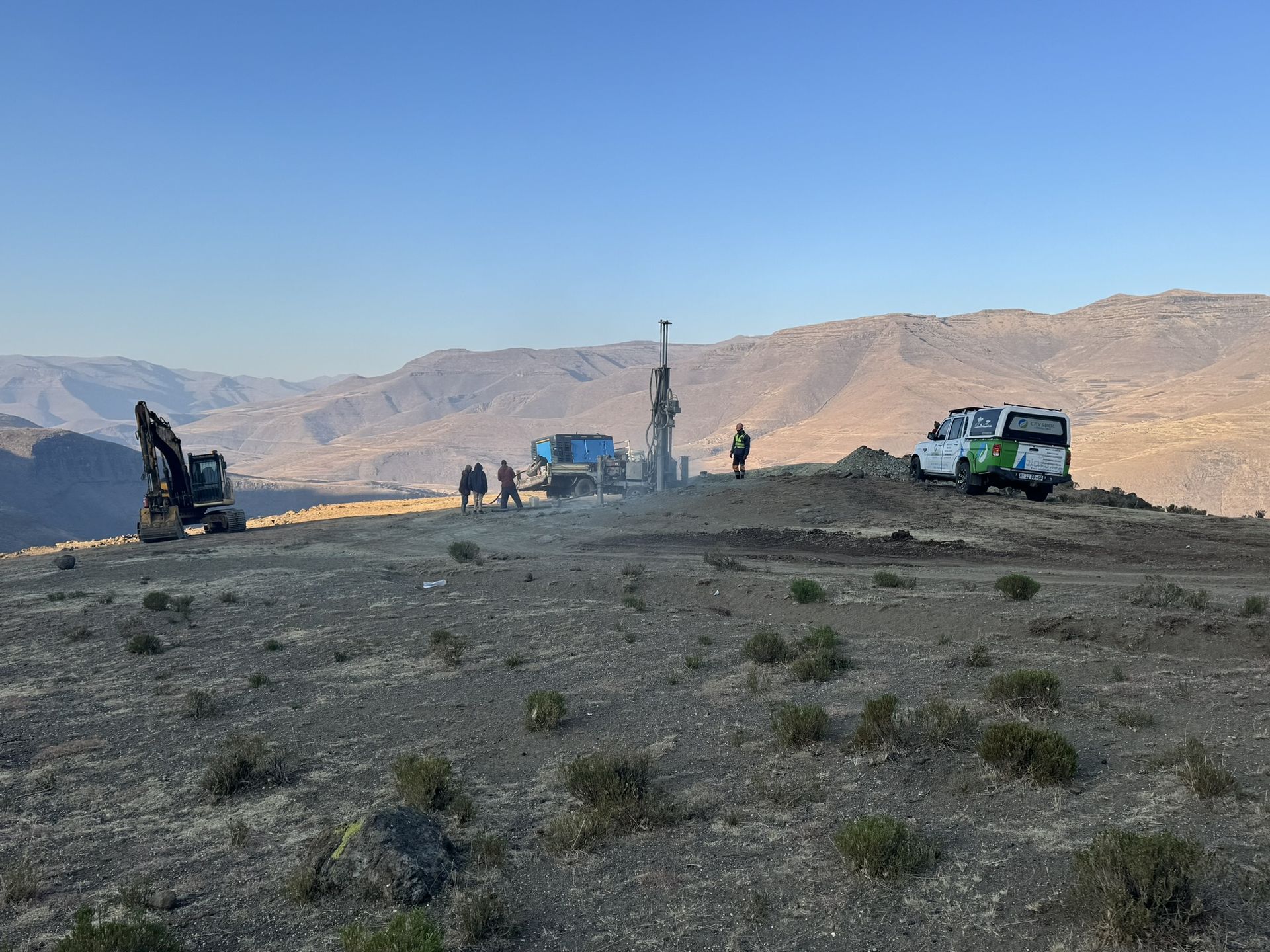
Mineral exploration & mining geology in Jagersfontein
Geological input on kimberlite and tailings resources for retreatment and closure decisions.
Also availableBorehole yield testing in JagersfonteinCore drilling in JagersfonteinGeophysical surveys in JagersfonteinGeohydrological studies in JagersfonteinMining & prospecting right applications in JagersfonteinLand & engineering surveying in JagersfonteinWater purification & backup water in Jagersfontein
Have a site in or near Jagersfontein?
Send us the location and what you need. We plan field work to cover several sites per trip and usually reply with a scope and quote within two working days.