

Free State · Letsemeng Local Municipality
Geoscience, drilling & groundwater services in Koffiefontein
Mine closure, kimberlite and groundwater work in Koffiefontein, a Letsemeng diamond mining town near the Riet River.
Working in Koffiefontein
Koffiefontein grew around a diamond-bearing kimberlite pipe mined since the nineteenth century. De Beers closed the mine in 2006, Petra Diamonds reopened it in 2007, and it was placed on care and maintenance in November 2022.
The town is the seat of Letsemeng Local Municipality. Kalkfontein Dam on the Riet River supplies water to Koffiefontein and Jacobsdal, and irrigation farming along the river supports the district.
- Municipality
- Letsemeng Local Municipality
- From Midrand
- ~490 km straight line
- Coordinates
- 29.41°S 25.00°E
Also covering from Koffiefontein
Luckhoff
Local ground conditions
What we look out for in Koffiefontein
- 01
Pit and tailings legacy
Waste rock, tailings and the open pit left by more than a century of mining must be made safe and rehabilitated before the land can be handed back.
- 02
Riet River irrigation
Irrigated fields along the Riet River lie on alluvium with shallow groundwater, which raises salinity and drainage questions for farms and nearby buildings.
For the wider regional geology, see our Free State service area page.
Services
Most requested in Koffiefontein
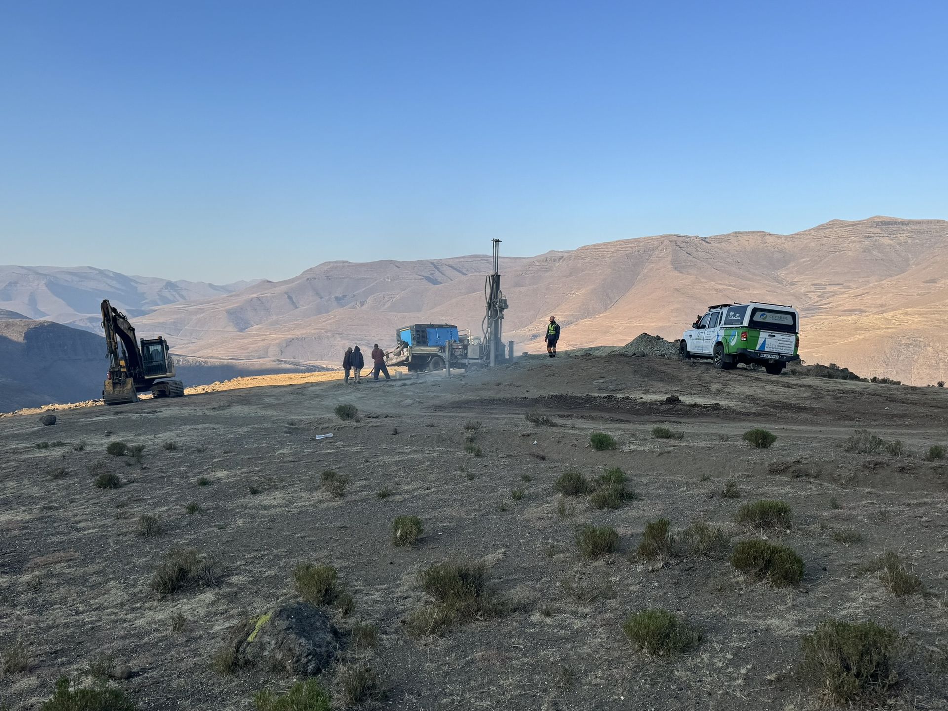
Mineral exploration & mining geology in Koffiefontein
Geological input on remaining kimberlite and tailings resources for retreatment or sale decisions.

Geohydrological studies in Koffiefontein
Groundwater monitoring around the pit, the tailings and irrigated land along the Riet River.
Also availableGeotechnical & dolomite investigations in KoffiefonteinBorehole yield testing in KoffiefonteinCore drilling in KoffiefonteinGeophysical surveys in KoffiefonteinMining & prospecting right applications in KoffiefonteinLand & engineering surveying in KoffiefonteinWater purification & backup water in Koffiefontein
Have a site in or near Koffiefontein?
Send us the location and what you need. We plan field work to cover several sites per trip and usually reply with a scope and quote within two working days.